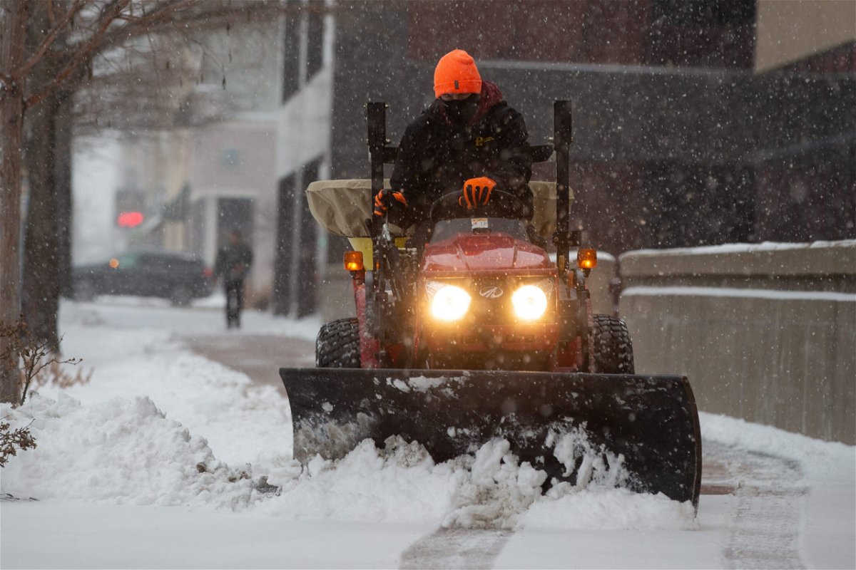
A potential bomb cyclone is poised to pound the interior East with heavy snow and winds

By Jason Hanna and Aya Elamroussi, CNN
A winter storm passing through the central US is expected to become a more powerful bomb cyclone, threatening parts of the East with heavy snow and strong winds that could cause dangerous travel conditions Friday night into Saturday.
Elsewhere, severe thunderstorms are possible from the central Gulf Coast into Georgia, the Florida Panhandle and the Carolinas from Friday night into Saturday.
As for the blustery snow Friday night and Saturday: The storm is expected to strengthen into a bomb cyclone by Saturday and bring damaging winds and heavy snow, especially to parts of the interior Northeast. A bomb cyclone forms when a storm decreases in pressure by 24 millibars (a measurement of pressure) in under 24 hours.
About 4 to 6 inches of snow are possible in the Tennessee and Ohio River Valleys, with more than a foot possible in parts of the interior Northeast, like upstate New York and northern New England.
“Snow rates of greater than 1 inch per hour combined with gusty winds (late Friday into Saturday) … will severely reduce visibility and make for difficult to hazardous driving conditions,” the Weather Prediction Center said early Friday.
All of this comes as a cold front pushes east, lowering temperatures 30 degrees below average from Texas to Minnesota on Friday and single-digit wind chills across the Great Lakes and Northeast into the weekend.
More than 60 million people were under some sort of winter weather alert from the National Weather Service on Friday afternoon, stretching from Texas to Maine.
Much of Colorado and Kansas was inundated with heavy snow Thursday, with the greatest totals falling over western Kansas along Interstate 70. By Friday morning, the Kansas City area picked up at least 3 to 5 inches, and more than 8 inches had fallen in parts of central Missouri.
Some schools in Kansas City announced they would close Friday due to hazardous conditions.
Northeast and Mid-Atlantic
The worst of the storm is expected to hit the interior areas of the Northeast beginning late Friday through Saturday, according to forecasts. Some areas could receive more than 12 inches of snow.
“Heavy wet snowflakes may cause scattered power outages,” the Weather Prediction Center said Friday of these areas.
Metropolitan areas along the coast, including Washington, Philadelphia, New York and Boston, are expected to collect mostly rain, though some snow could fall there before Sunday.
In the upstate New York city of Syracuse, 6 to 10 inches of snow could fall from Friday night into Saturday night, with wind gusts up to 35 mph, CNN forecasters said.
Snow in Pittsburgh could reach up to 6 inches, with the worst conditions happening between early Saturday through noon. Parts of West Virginia could see more than 6 inches of snow.
South and Midwest
The storm will bring snow and cold temperatures to parts of the South and Midwest.
Up to 3 inches of snow may fall Friday in Little Rock, Arkansas, and Nashville, where low temperatures may help black ice form on roads, CNN forecasters said.
Rain and snow are expected Friday night into Saturday morning in Huntsville, Alabama, where flash freezing is possible, and winds may gust up to 40 mph. About 2-4 inches of snow could accumulate there.
More than 3 inches of snow could fall in eastern Ohio, and up to 5 inches of snow could fall in Lexington, Kentucky.
Light snow is expected in parts of Minnesota, Wisconsin, northwestern Michigan, Illinois, northern Indiana and western Ohio.
In Illinois, 12 people were injured Friday morning when a charter bus overturned in a median on Interstate 55 after the driver lost control in snow and ice, Illinois State Police said. The injured were taken to a hospital with non-life-threatening injuries, police said.
Around the Gulf Coast, Georgia and the Carolinas, severe thunderstorms could be in play Friday and Saturday — especially Friday night and Saturday morning.
Cities that could see severe storms Friday include Tallahassee, Panama City, and Jacksonville in Florida; Albany and Columbus in Georgia; and Montgomery and Mobile in Alabama.
Damaging wind, isolated hail, and a few tornadoes are possible in those areas Friday, according to the Storm Prediction Center.
Flood watches were in effect Friday through Saturday morning in northern Florida and southern Georgia, in part because the soil was already saturated from days of rain. Rainfall of 3-6 inches are forecast across this same area Friday through Saturday morning.
The-CNN-Wire
™ & © 2022 Cable News Network, Inc., a WarnerMedia Company. All rights reserved.
CNN’s Monica Garrett, Haley Brink, Chad Myers, Tom Sater and Hannah Sarisohn contributed to this report.
