Hurricane-force winds tear through the Midwest and Plains leaving a trail of damage and power outages
By CNN Meteorologists Briana Waxman, Mary Gilbert
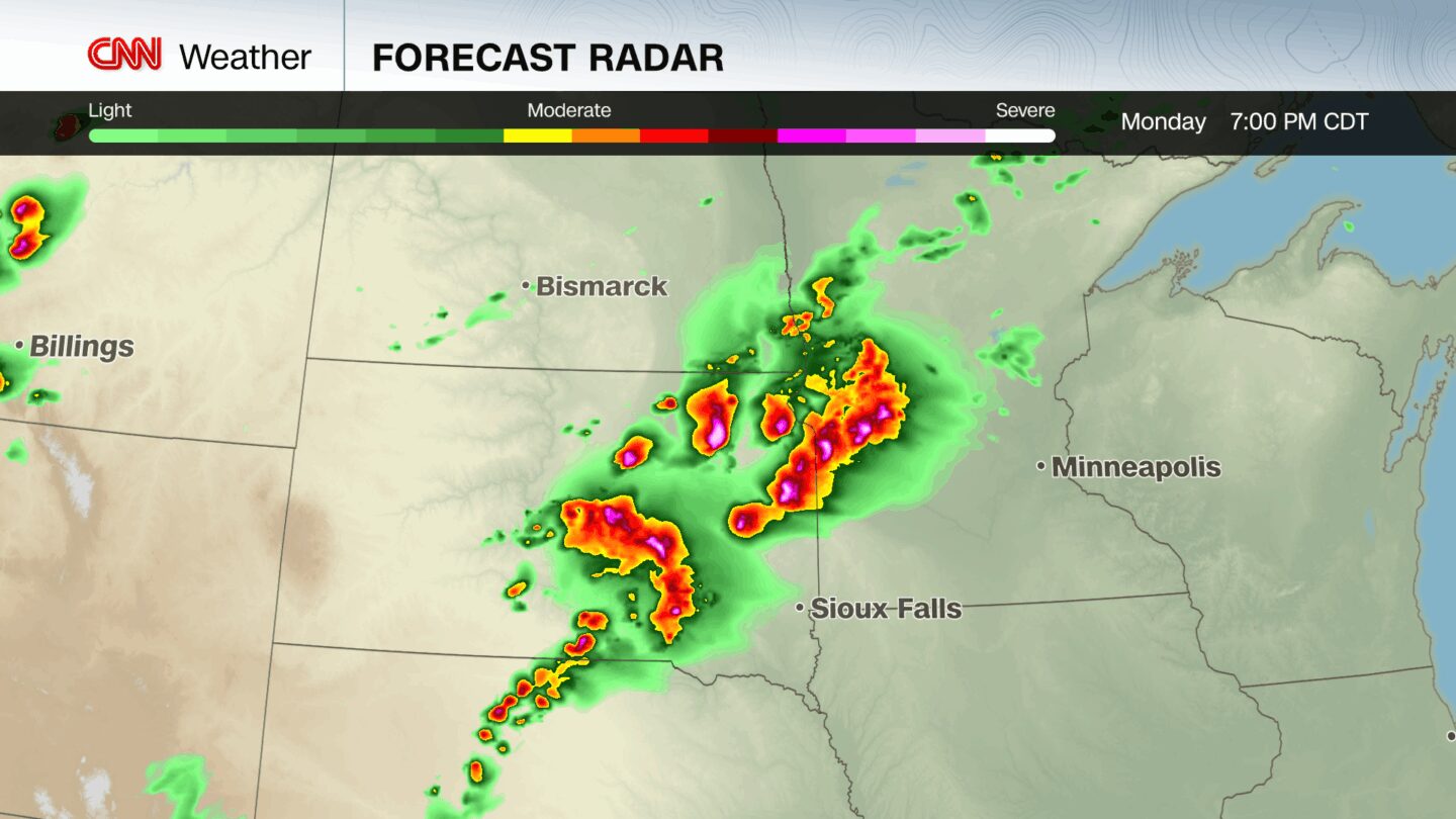
(CNN) — Violent thunderstorms with hurricane-force wind gusts roared across the northern Plains and upper Midwest overnight, downing trees, knocking out power and causing damage in their wake.
On Monday, forecasters warned this dangerous line of storms could develop into a rare derecho – a long-lasting line of storms that must produce powerful, damaging wind gusts consistently across a few hundred miles.
Last night’s storm complex weakened before it could meet the distance criteria to be classified as a derecho, but the end result was the same. Damage to homes and businesses was reported to the National Weather Service from wind gusts topping 90 mph.
Those winds knocked out power to more than 150,000 homes and businesses across Minnesota, Iowa and Wisconsin, according to poweroutage.us. More than 100,000 customers lost power in Minnesota alone.
Multiple wind gusts exceeding 80 mph were reported late Monday into early Tuesday, including peak gusts of 99 mph near Sioux Center, Iowa, and 92 mph near Orange City and Spencer, Iowa. In addition to countless trees down, the weather service reported several large vehicles turned over by the high winds.
The storms also generated several tornadoes and large hail in parts of rural South Dakota and Iowa Monday evening.
Monday’s storms were just the latest to hit the northern Plains. Over the weekend, a cluster of severe storms and tornadoes moved through the region, resulting in numerous wind and hail reports across eastern South Dakota, southern Minnesota and northern Iowa.
Three tornadoes were reported in rural areas on Sunday night. Golf ball-sized hail, downed trees and flash flooding were reported across the Minneapolis-St. Paul area in Minnesota.
The severe storm threat lessens to a Level 2 of 5 risk Tuesday as stormy weather shifts south and east into the central Plains and Great Lakes, where saturated soils from weekend rain are also fueling a flash flooding risk, particularly across low-lying and urban zones. The Weather Prediction Center has identified a Level 2 of 4 risk of flooding rain across the region.
The-CNN-Wire
™ & © 2025 Cable News Network, Inc., a Warner Bros. Discovery Company. All rights reserved.