It’s been a brutal winter, but now it’s prime time for blockbuster Northeast storms

By Meteorologist Mary Gilbert
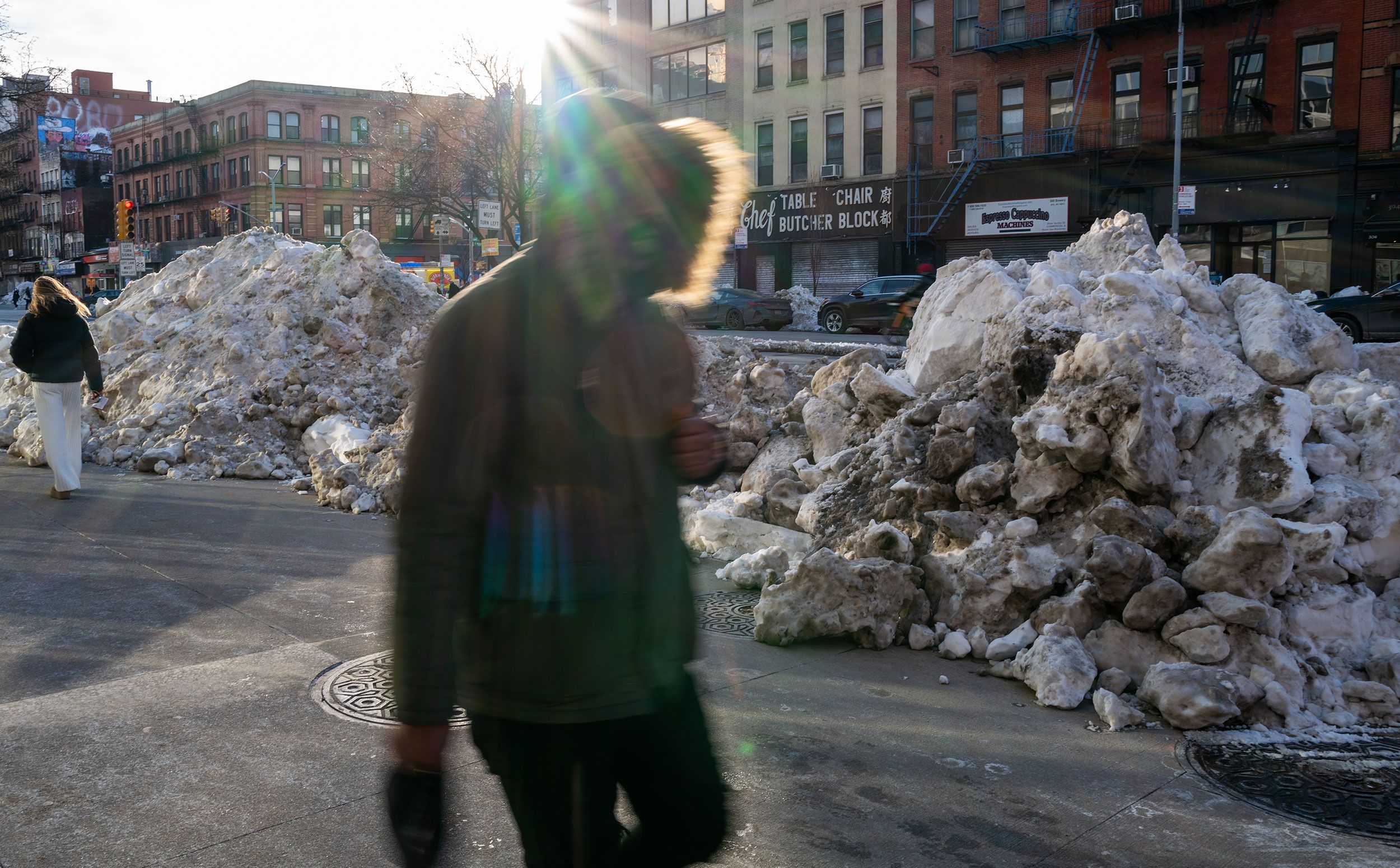
(CNN) — It’s already been a brutally cold and snowy winter for the northeastern US, but what’s typically the region’s snowiest month is just getting started.
Impactful Northeast snowstorms, many of which are powerful nor’easters, occur most often in February, according to data from the National Oceanic and Atmospheric Administration. That’s because the ingredients needed to create blockbuster winter storms historically tend to align this month, unlike earlier in the season.
As a result, trace a path along Interstate 95 from Virginia to Maine and nearly every city along and east of the busy roadway typically gets more snow in February than any other month.
Many major cities along the I-95 corridor have already recorded above-average snow for the first time in several years this winter, due mostly to a historic and deadly January storm.
If conditions hold, all it will take for another blockbuster snowfall this month is a storm that follows just the right track up the East Coast.
A recipe for big snow storms
February’s peak snowiness in the mid-Atlantic and Northeast is tied to the Atlantic Ocean.
Sea surface temperatures along the Atlantic Coast are usually relatively warm at the start of winter, as large bodies of water are slow to shed heat from the summer and fall. Any storms that interact with this warmth are more likely to deliver rain than snow.
Water temperatures typically cool off by February, but this year, they cooled off quicker than normal, due in part to multiple brutal blasts of Arctic air early in the season.
Sea surface temperatures from northern New England all the way to the Carolinas are as much as 15 degrees Fahrenheit below normal as of this week, according to NOAA data. That’s extremely cold, even as much of the open Atlantic Ocean remains abnormally warm.
These chilly ocean temperatures, combined with the bouts of cold air, left the door open for a snowy winter heading into February.
As a result, this season has put recent winters to shame for some: It’s tracking as one of the five coldest winters to date for a few Eastern Seaboard locales, according to data from the Southeast Regional Climate Center.
Both the air and the water could be cold all season, but it’s not going to snow until a storm arrives that can tap into them.
Two storms this winter have already shown what happens when conditions are ripe for the picking. The first was late January’s destructive snow and ice storm that tracked across the South and then up along the East Coast. The other was a bomb cyclone that slammed the Southeast and Carolinas as the calendar flipped to February.
New York City recorded just over 21 inches of snow from December through January when the city typically picks up about 14 inches. Nearly 16 inches fell in the same timeframe in Philadelphia when the city should get a little over 10 inches.
Washington, DC, and Boston also carried higher-than-average snow totals into February.
Looking ahead
Another historic snowstorm for the East doesn’t appear to be in the cards for the next few days at least, thanks to a major pattern change that will finally defrost the Northeast.
That warming trend looks to stick around too. Latest forecasts from the Climate Prediction Center indicate temperatures will be above normal for much of mid-to-late February.
It’s still possible to get snow — and ice — even if it isn’t extremely cold, but this forecast might mean the season’s biggest snowmakers have already happened. Some forecast models are hinting at a possible coastal storm by early next week, but there’s a low chance it materializes as currently depicted.
The last few winters in the Northeast were pretty un-winterlike. Last winter ended up in the top third of warmest winters on record despite bouts of frigid cold. Winter 2023-2024 was the warmest on record in both the Northeast and the entire Lower 48. And the 2022-2023 season is tied for the third-warmest in the Northeast.
Winter is the fastest-warming season for nearly 75% of the US as the planet heats up because of fossil fuel pollution. Unseasonable warmth and lackluster snow totals go hand-in-hand, and snowfall is declining around the globe.
New York City had a snowfall deficit of more than 3 feet over the previous two winters. Despite this season’s total to date finally hitting the above-average mark, it’s going to take an absurd amount of snow to eat away at the overall deficit — and it’s the same story for cities across the region.
The-CNN-Wire
™ & © 2026 Cable News Network, Inc., a Warner Bros. Discovery Company. All rights reserved.
