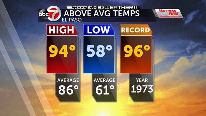
Post fall record heat?

Welcome to fall that arrived early this morning. Nearly record high temps today but we will have several days this week to potentially see one or two for the record books. Temps will be in the 90's the next 6 days at least.
Rainfall still looks difficult with Wednesday being a day for a few isolated showers. The upper level winds from the NW/N will drive some moisture our way.
For the latest forecast and Doppler radar: www.kvia.com/weather
To follow Doppler Dave on twitter: @Dopplerdaves
