Flight delays and cancellations pile up at JFK and LaGuardia as snowstorm jams post-Christmas travel in the Northeast
By Rebekah Riess, Randi Kaye, Michelle Watson
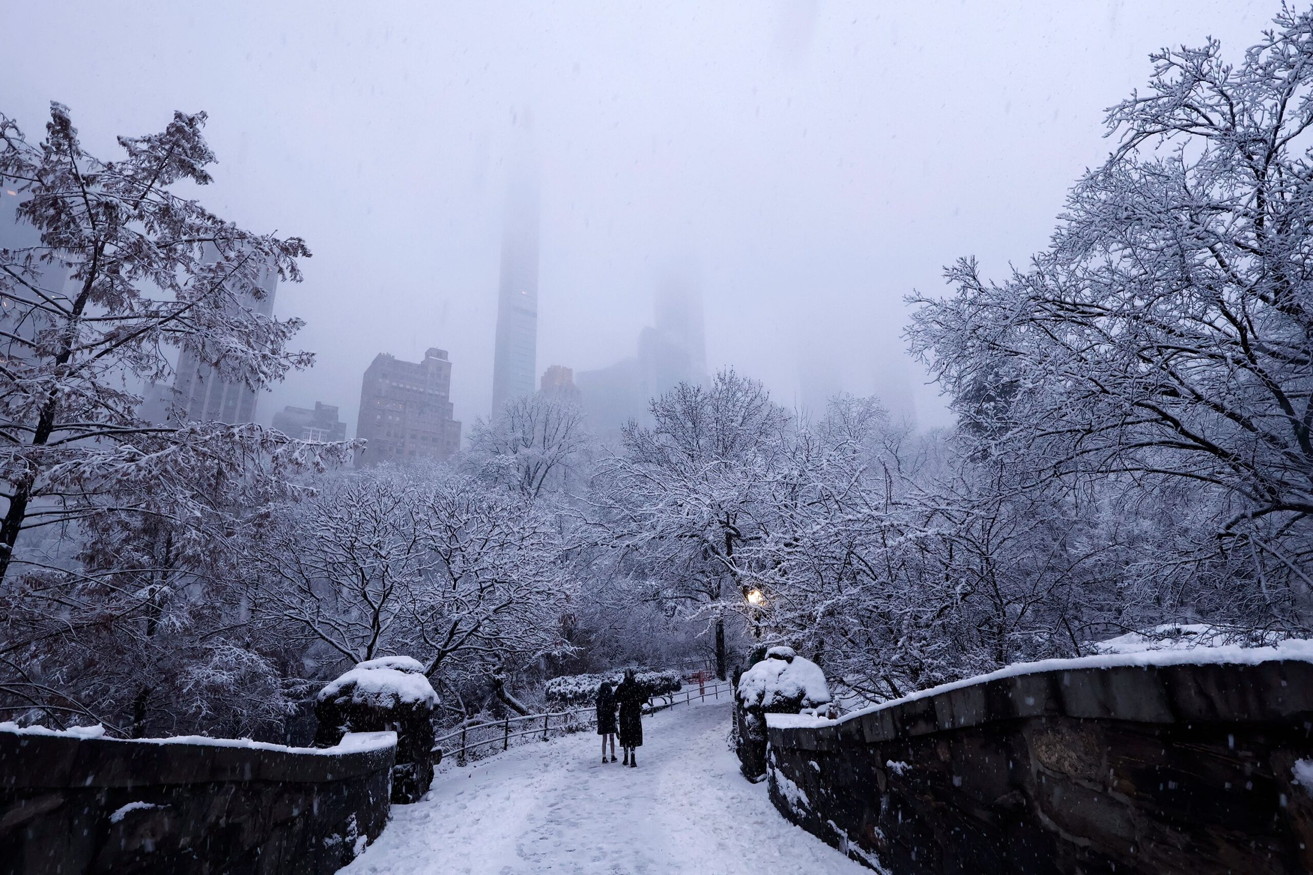
New York (CNN) — A winter storm dumped heavy snow and treacherous ice onto parts of the Great Lakes and Northeast Friday evening into Saturday morning, snarling travel and knocking out power in parts of the region.
More than 10,000 flights within, into or out of the US were delayed Saturday, with more than 1,000 cancellations, according to FlightAware. And those issues were set to to spill over into Sunday – which is expected to be the busiest travel day of the season, according to the Transportation Security Administration.
As of early Sunday, there were more than 600 delays and about 140 cancellations reported, according to FlightAware.
At LaGuardia Airport Saturday, flight information display systems were streaked with red cancellation notices Saturday morning, while the aprons outside were blanketed in white, with few planes to be seen amid the snow. But travelers appeared patient, seemingly taking the delays and cancellations in stride.
Waiting at LaGuardia Airport, Felicia Reich said her flight to Fort Lauderdale, Florida, is delayed by one hour.
“I was expecting it, but I was prepared,” she said, bundled up in a heavy coat and orange and yellow knit hat.
Sarah Matthews told CNN she is visiting the US on a big trip from Australia.
“We were excited about the snow, because we’d never seen it,” Matthews said. “But for it to be snowing on our last day, and now we’re kind of delayed, that sucks a little bit. But we’ll make the most of it.”
At Newark airport, travelers bustled in front of a big Christmas tree.
“I want to get out of the snow and get back to Vegas,” John Hildebrandt told CNN affiliate WCBS. “Hopefully there won’t be a delay.”
As ice weighed on trees and power lines in Michigan, more than 30,000 homes and businesses began Saturday without power, according to poweroutage.us.
New York City workers had prepared for days in anticipation of the snowstorm, salting the streets and readying plows.
Just over four inches of snow fell in New York City’s Central Park, the city’s most snow since January 2022, about half of the amount the National Weather Service predicted ahead of the storm.
Snow blowers hummed and snow shovels scraped sidewalks clear in Westchester County, New York, Saturday morning. Parts of the county saw as much as 6 inches of snow accumulate overnight.
The highest accumulation of snow fell in Connecticut, which got just over 8 inches, and more than 11 inches in Hartwick, New York.
It’s not the end of wintry conditions for the region, however. Another winter storm is set to bring snow, wind and rain to the Upper Midwest and Northeast beginning Sunday, according to the National Weather Service.
Blizzard conditions and snowfall reaching a foot or more is forecast for portions of the Upper Midwest and Great Lakes, followed by bitterly cold temperatures, the Weather Service said.
It also predicted freezing rain in the northern Appalachians Monday. Much of these areas can expect at least a tenth of an inch of ice, with lake effect snow expected in Western Pennsylvania and New York state.
This story has been updated with additional information.
The-CNN-Wire
™ & © 2025 Cable News Network, Inc., a Warner Bros. Discovery Company. All rights reserved.
CNN’s Chris Warren, Maria Sole Campinoti, Yan Kaner, Taylor Romine and Hanna Park Meteorologists Chris Dolce and Andrew Freedman contributed to this report.