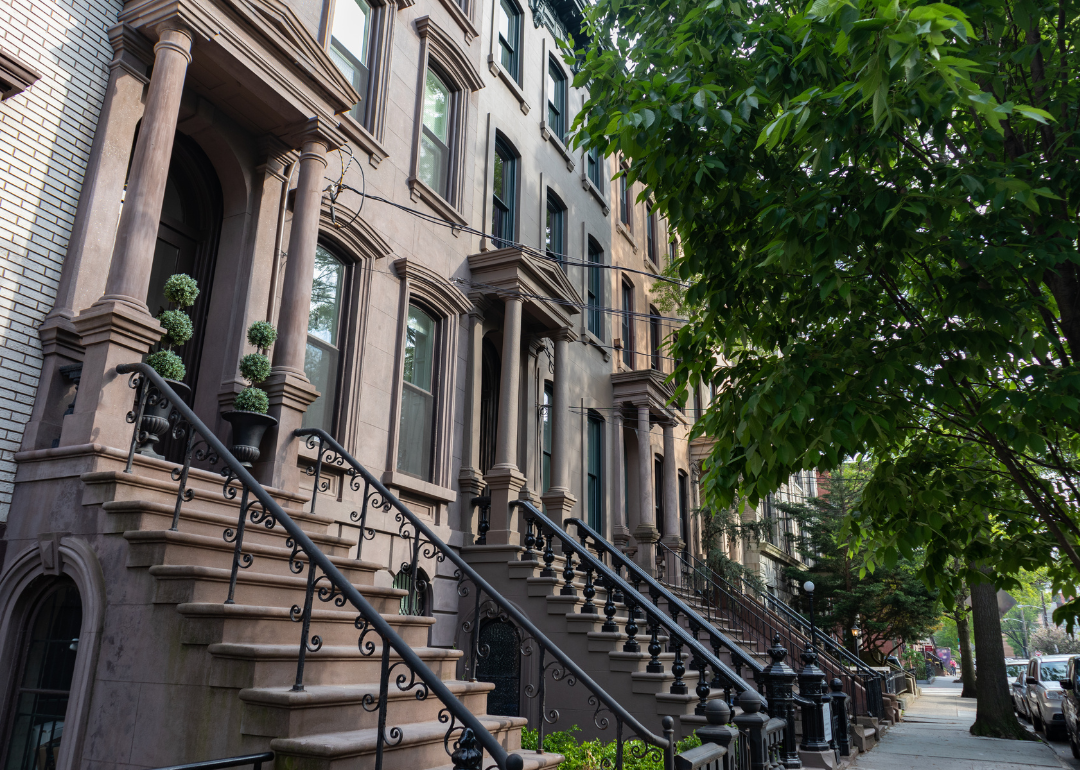
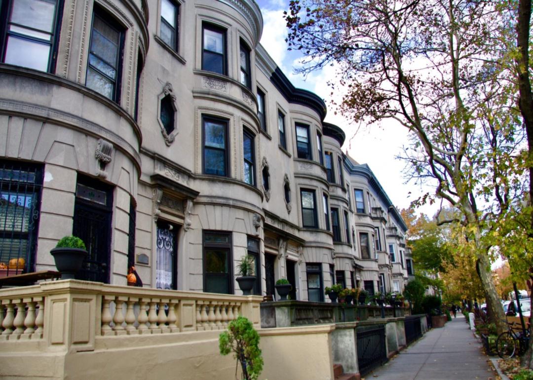
Which counties have the most prewar homes? Compare historic homes in every state
Canva
Which counties have the most prewar homes? Compare historic homes in every state
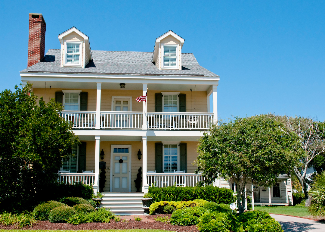
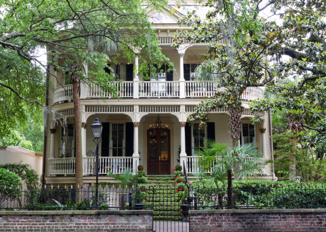
A classic prewar home in historic Savannah, Georgia.
Many people love the idea of owning a home that preserves a piece of history. But what are your actual chances of finding one in today’s market?
Historic homes date back to the prewar era, meaning they were built before World War II. Houses in this era can come in various architectural styles, which also vary with the age of a city or county and what was in vogue at the time it was built. Prewar home styles include Colonial, Tudor, Georgian, Cape Cod, Georgian, Victorian, Edwardian, Craftsman, and Art Deco.
Depending on where you want to live, it can be challenging to find a prewar home. About 11% of occupied homes in the U.S. were built before 1939. That said, older homes are easier to find on the East Coast, as it was the part of the country with many of the first residential communities. Many places on the East Coast also have large concentrations of prewar homes because there’s not as much land for developers to build new homes.
But that doesn’t mean you can’t find prewar homes in the rest of the country. In every state, there are cities with rich histories like San Francisco, with its colorful Victorian homes, or New Orleans, with its mix of European influences.
Rocket Homes examined Census Bureau data to find which county has the most prewar homes in every state, calculated by dividing the number of homes built before 1939 by all occupied housing units in that county. States are listed in alphabetical order. Washington D.C. was also included. For this analysis, “prewar” refers to homes built in 1939 or earlier, based on how the Census Bureau collects data.
States with the largest share of prewar homes are largely on the East Coast and Midwest. Lincoln County, Kansas, has the highest percentage of prewar homes in the top counties in every state.
![]()
Canva
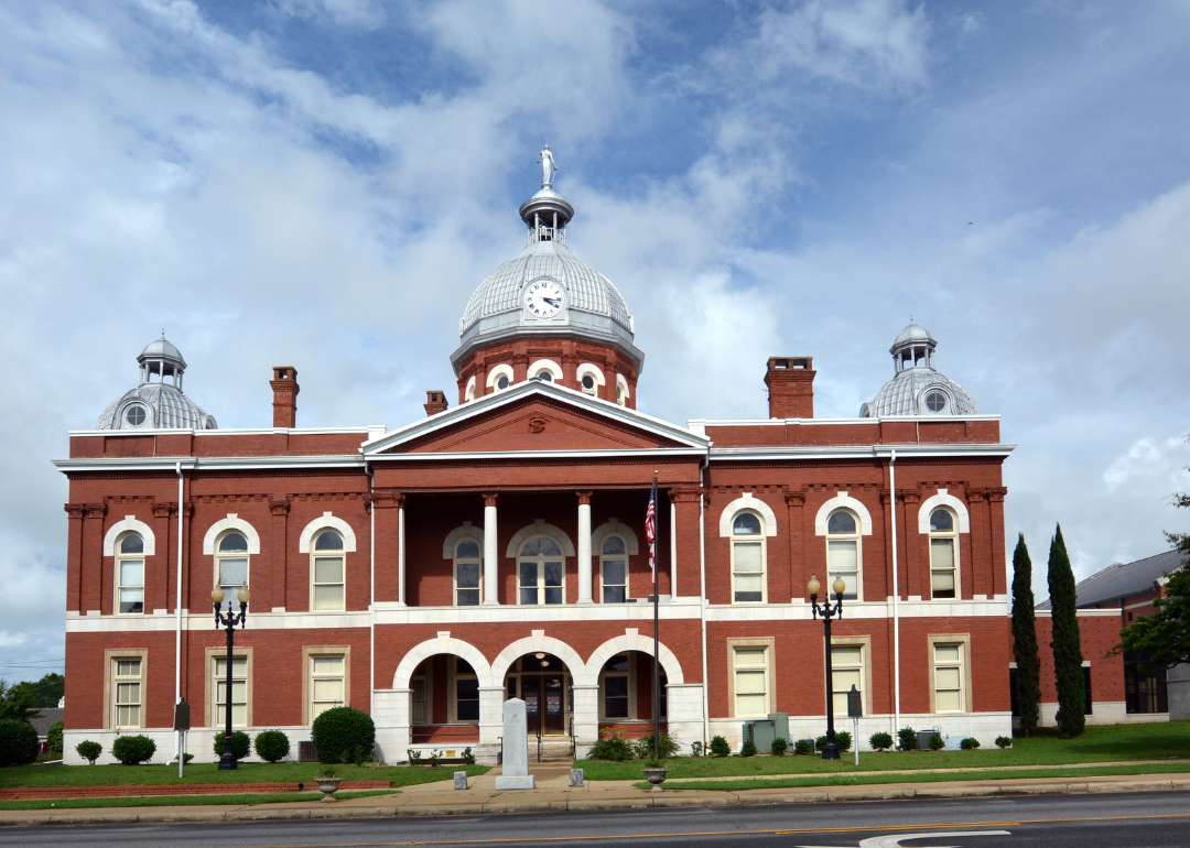
Alabama: Chambers County
Chambers County courthouse.
– Share of homes built prewar: 12.2%
– Total prewar homes: 1,602
Cotton played a significant role in the development of Chambers County. Before the Civil War, the area’s farmlands mainly grew cotton, and in the late 1800s, textile manufacturers set up shop in the county. In 1921, consolidation within the county’s textile industry made West Point Manufacturing a major player. Today, the company is known as WestPoint Stevens, a big name in bed and bath linens.
Canva
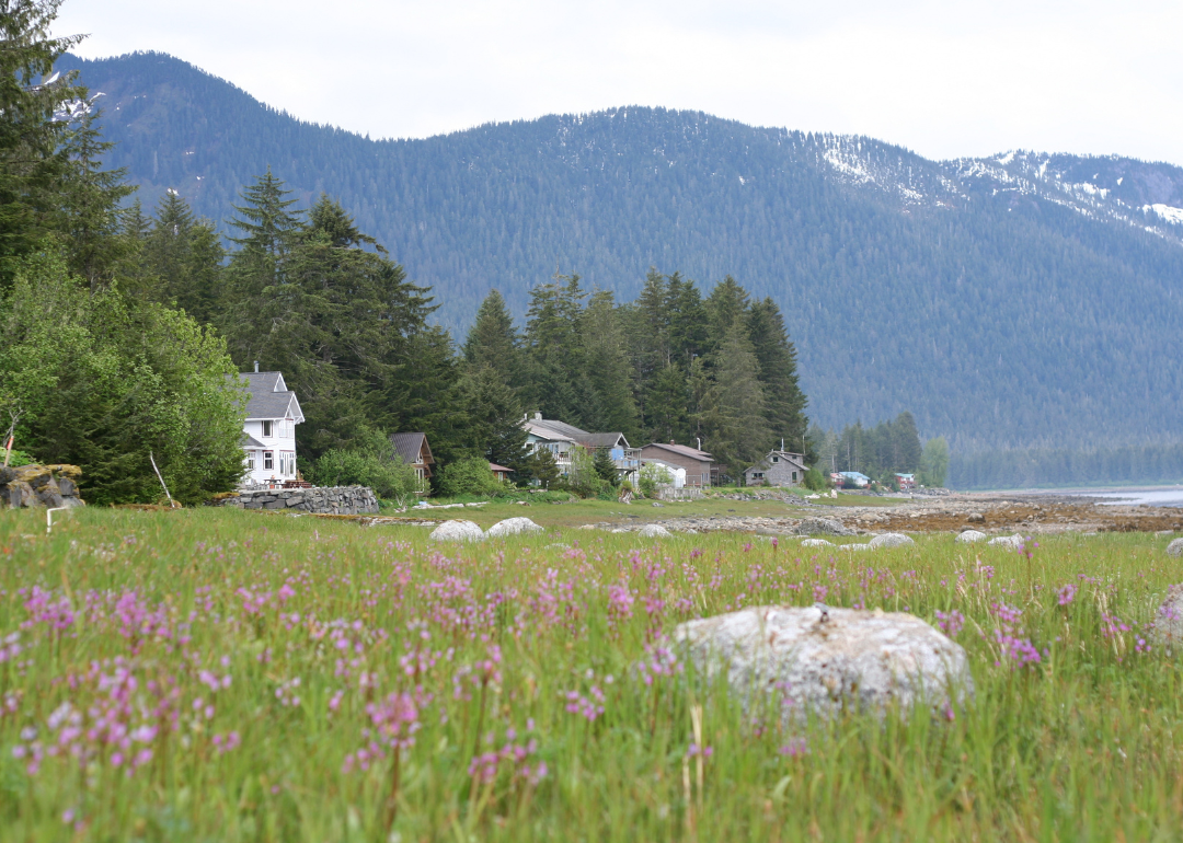
Alaska: Petersburg Borough
A field of flowers and homes on the water with mountains in the background.
– Share of homes built prewar: 20.3%
– Total prewar homes: 246
Tlingit people used this area of Alaska’s Panhandle for hunting and fishing for over 2,000 years until 1897, when an enterprising Norwegian pioneer named Peter Buschmann moved to the region. He noticed the ice quality in the area and started the borough’s commercial fish-packing industry. The promise of work brought more people to the borough, growing its population to 2,187 by 1939.
Canva
Arizona: Cochise County
Aerial view of Bisbee in the mountains.
– Share of homes built prewar: 5.9%
– Total prewar homes: 2,893
Originally Apache land, this county in the southeast corner of Arizona is legendary in the history of the West as the site of the gunfight at the O.K. Corral, which featured folk heroes Wyatt Earp and Doc Holliday. Before Arizona became a state in 1912, the discovery of silver, gold, and copper brought a mining boom. Even today, the county is known as one of the world’s biggest producers of copper.
Bonita R. Cheshier // Shutterstock
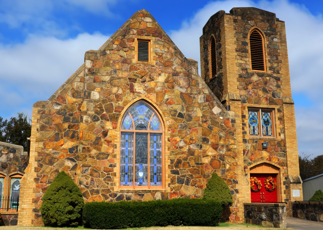
Arkansas: Madison County
A historic stone church in Huntsville.
– Share of homes built prewar: 11.5%
– Total prewar homes: 696
The development of railroads in the late 18th century contributed to the growth of Madison County. In the early 20th century, numerous towns were incorporated along the railroad as the timber, cash crops, and commercial canning industries grew. The closing of the railroads, along with the Great Depression, hit the county extremely hard: Between 1900 and 1960, the population declined by more than half. Although people have moved to the county in recent decades, its population is still thousands lower than at its peak.
Canva
California: San Francisco County
The tops of historic homes with the San Francisco skyline in the background.
– Share of homes built prewar: 45.2%
– Total prewar homes: 163,210
San Francisco is famous for its stately Victorian homes, the colorful “painted ladies” that can be found throughout the city. Much of this housing stock was built from the 1870s to 1890s, in the decades following the Gold Rush boom, which saw the city’s population explode from less than 1,000 people to 25,000 within three years. When the earthquake of 1906 destroyed 28,000 buildings, much of the town was rebuilt, and other architectural styles came into vogue, including Mission Revival, Spanish Revival, and Mediterranean Revival.
Canva
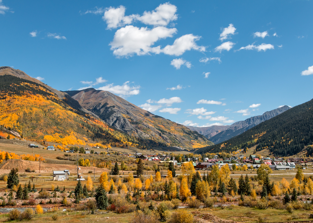
Colorado: San Juan County
Silverton nestled in the mountains in the Fall.
– Share of homes built prewar: 39.3%
– Total prewar homes: 128
In the late 1800s, San Juan County experienced a mining boom, bust, and revitalization, which brought more people to the highest county in elevation in the U.S. The county’s rugged mountains have kept the population low, so new housing development wasn’t a priority. That has changed in recent years, as COVID-19-pandemic-fueled demand from people trying to relocate to the area caused housing prices to skyrocket.
LEE SNIDER PHOTO IMAGES // Shutterstock
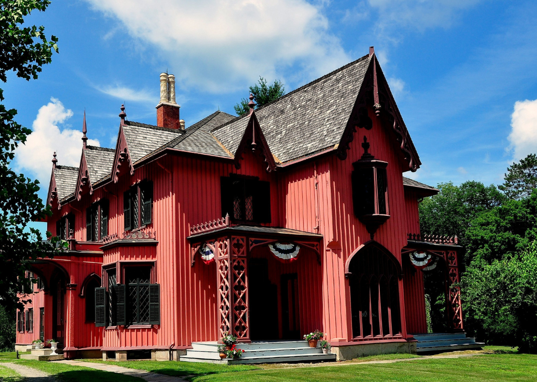
Connecticut: Windham County
A salmon colored gothic revival home in Woodstock.
– Share of homes built prewar: 25.3%
– Total prewar homes: 11,471
Windham County has a lot of prewar history—the county established in 1726 but incorporated Windham in 1692. In the 1800s, the railroads helped grow the area, and sawmills, gristmills, cotton mills, and blacksmithing drove the economy. After World War II, many factories closed or relocated to other parts of the country, which tanked the local economy.
Canva
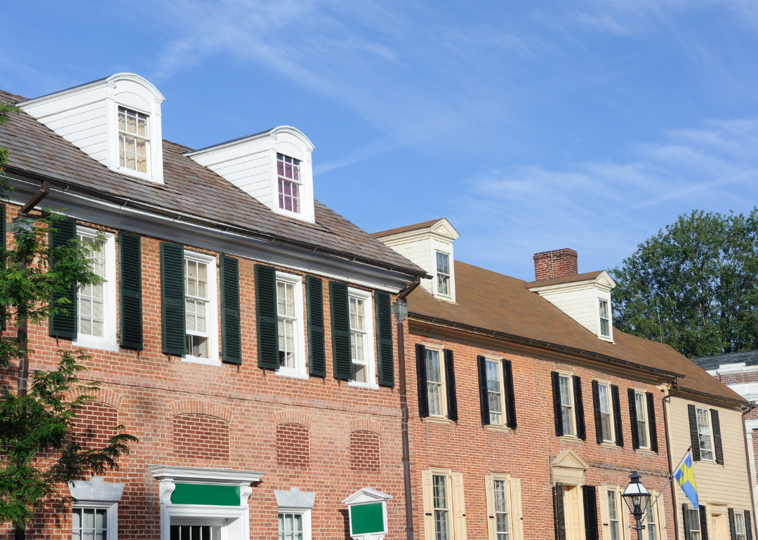
Delaware: New Castle County
Historic brick row homes in New Castle.
– Share of homes built prewar: 10.2%
– Total prewar homes: 22,194
When discussing prewar housing in New Castle County, it’s helpful to say which war. Delaware’s northernmost county has a storied history that dates to 1651. The county has designated 42 historic zoning districts to protect historically significant properties and carefully supervises any exterior renovation or development within them.
Canva
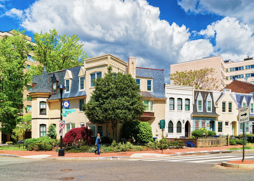
District of Columbia
Historic row homes in D.C.
– Share of homes built prewar: 33.3%
– Total prewar homes: 103,182
Washington D.C. has the most historic buildings of any city in the nation—nearly 1 in 5 have official landmark designations; this includes 17% of all residential housing and over 15% of single-family homes. Historic homes, mostly built pre-1900, are located in every city ward, although nearly 62% are in Wards 2 and 6 around Capitol Hill and Georgetown.
Canva
Florida: Madison County
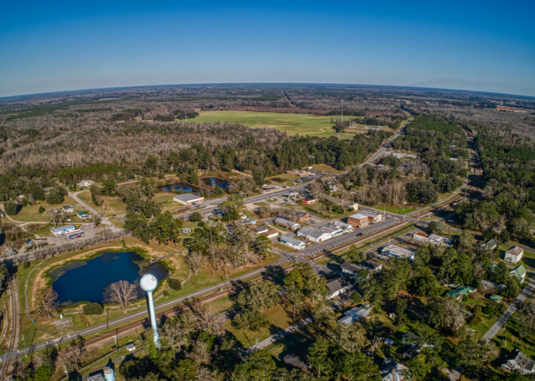
An aerial view of Greenville, a town in Madison County.
– Share of homes built prewar: 8.4%
– Total prewar homes: 538
After the Civil War, Madison County in Florida’s Panhandle became a world leader in the cotton industry with the world’s largest long-staple cotton gin. Unfortunately, this industry was decimated in 1916 when boll weevils destroyed the cotton crops. Prewar homes in the county include music legend Ray Charles’ childhood home.
Canva
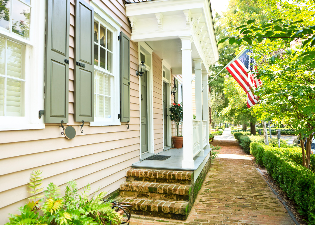
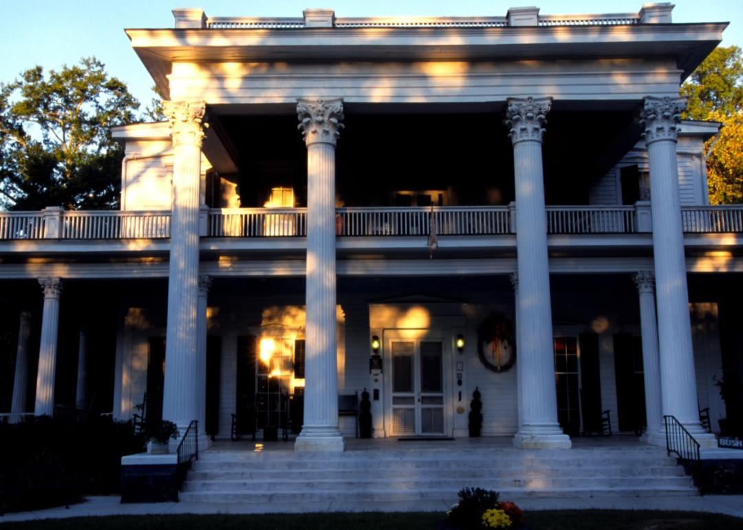
Georgia: Chattahoochee County
A historic home with an American flag.
– Share of homes built prewar: 23.8%
– Total prewar homes: 572
Chattahoochee County is located along its namesake river, which makes up the state’s western border. Known mainly for agriculture, Chattahoochee County changed with the development of Fort Benning Military Reservation in 1918, which is now called Fort Moore and still a leading funder of the local economy. During the Great Depression, federal construction projects spurred much construction and development at the base.
Canva
Hawaii: Kalawao County
An aerial view of Kalaupapa.
– Share of homes built prewar: 38.7%
– Total prewar homes: 12
The smallest county by area in the entire country, Kalawao County occupies 12 square miles on the island of Moloka’i, Hawaii’s fifth-largest island. The county is located on the north coast on the Kalaupapa peninsula, which is cut off from the rest of the island by a sheer cliff almost 2,000 feet tall. In the 1800s, leprosy—now known as Hansen’s disease—had become an epidemic in Hawaii; to combat its spread, King Kamehameha V approved Kalawao as a place to segregate people who had contracted the disease. Between 1900 and 1945, a large-scale construction program took place. Still, none of the homes will ever be for sale, as the only residents of the county are former patients, who are allowed to live out their lives at the colony, which has now become a National Historical Park.
Canva
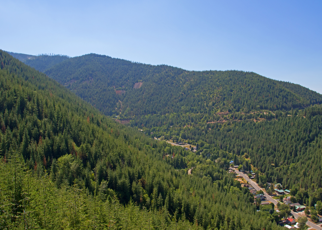
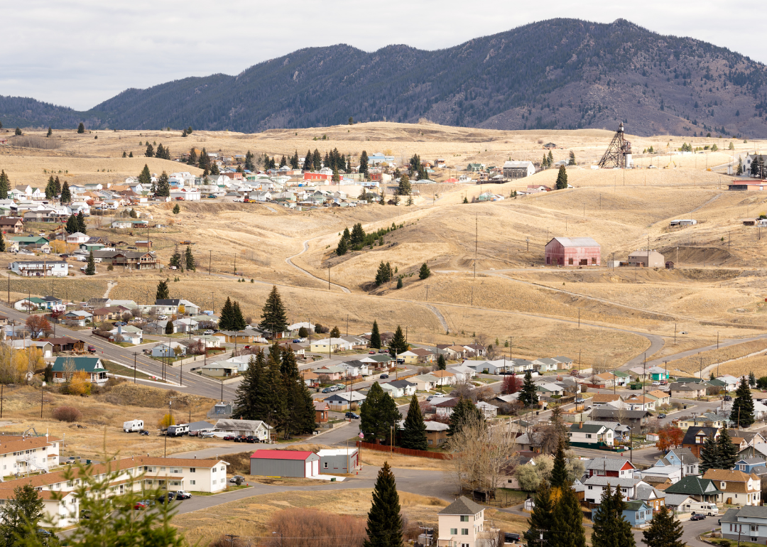
Idaho: Shoshone County
An aerial view of Kellogg in the mountains.
– Share of homes built prewar: 27.8%
– Total prewar homes: 1,510
Located in the “Silver Valley” of Idaho’s northern panhandle, Shoshone County’s history is steeped in the mining industry, with large deposits of silver, lead, and zinc discovered in the 1880s. The Great Fire of 1910 ripped through the valley, burning 3 million acres of land across Idaho, Montana, and British Columbia.
Canva
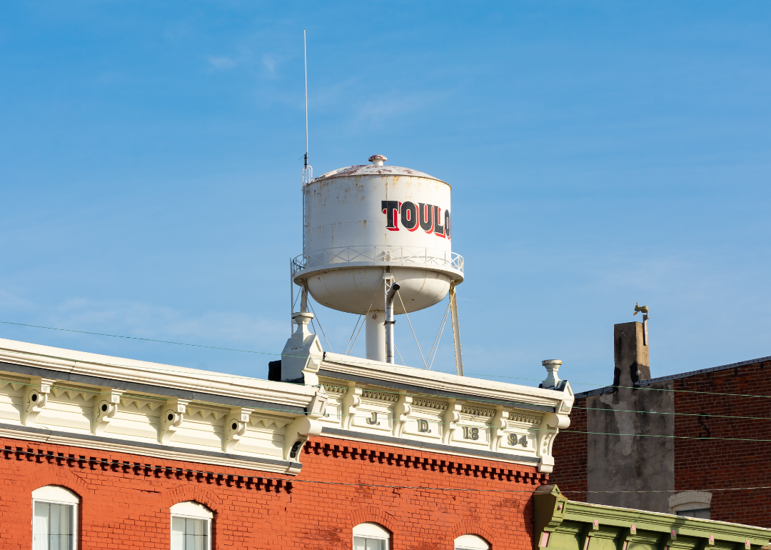
Illinois: Stark County
A water tower over a historic brick building in Toulon.
– Share of homes built prewar: 36.6%
– Total prewar homes: 828
Stark County is a small agricultural community located north of Peoria in central Illinois. European immigrants flocked here in the 1800s, but the county reached its peak population of 11,207 in 1880. It’s been dealing with population decline for decades, and the 2020 Census counted just 5,400 residents.
Roberto Galan // Shutterstock
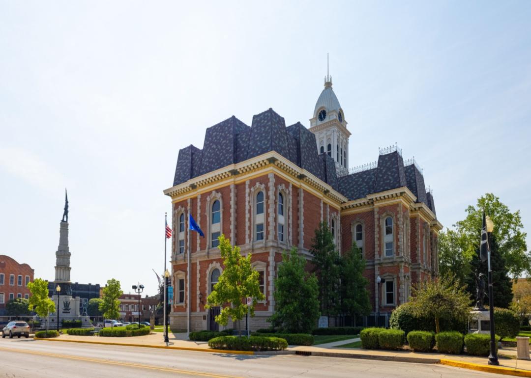
Indiana: Randolph County
A historic courthouse in Winchester.
– Share of homes built prewar: 39.6%
– Total prewar homes: 4,022
Established in 1818, Randolph County in east-central Indiana was known for abolitionism and was part of an Underground Railroad route. In the late 1800s, the industry thrived in the county due to the development of oil and natural gas industries, with glass and auto parts manufacturing following. As these industries dried up, the population shrunk, decreasing 6.4% to 24,502 in the 2020 Census.

Canva
Iowa: Adams County
A creek in rural Dams Count, Iowa.
– Share of homes built prewar: 45.1%
– Total prewar homes: 689
In southwest Iowa, Adams County is a small rural county within two hours of the state capital, Des Moines; Omaha, Nebraska; and Kansas City. Some of its earliest settlers were the Icarians, a social movement that created a utopian community. The development of the railroad through the county spurred construction in the late 1800s and early 1900s, including the Corning Opera House, which is now on the National Register of Historic Places.
Canva
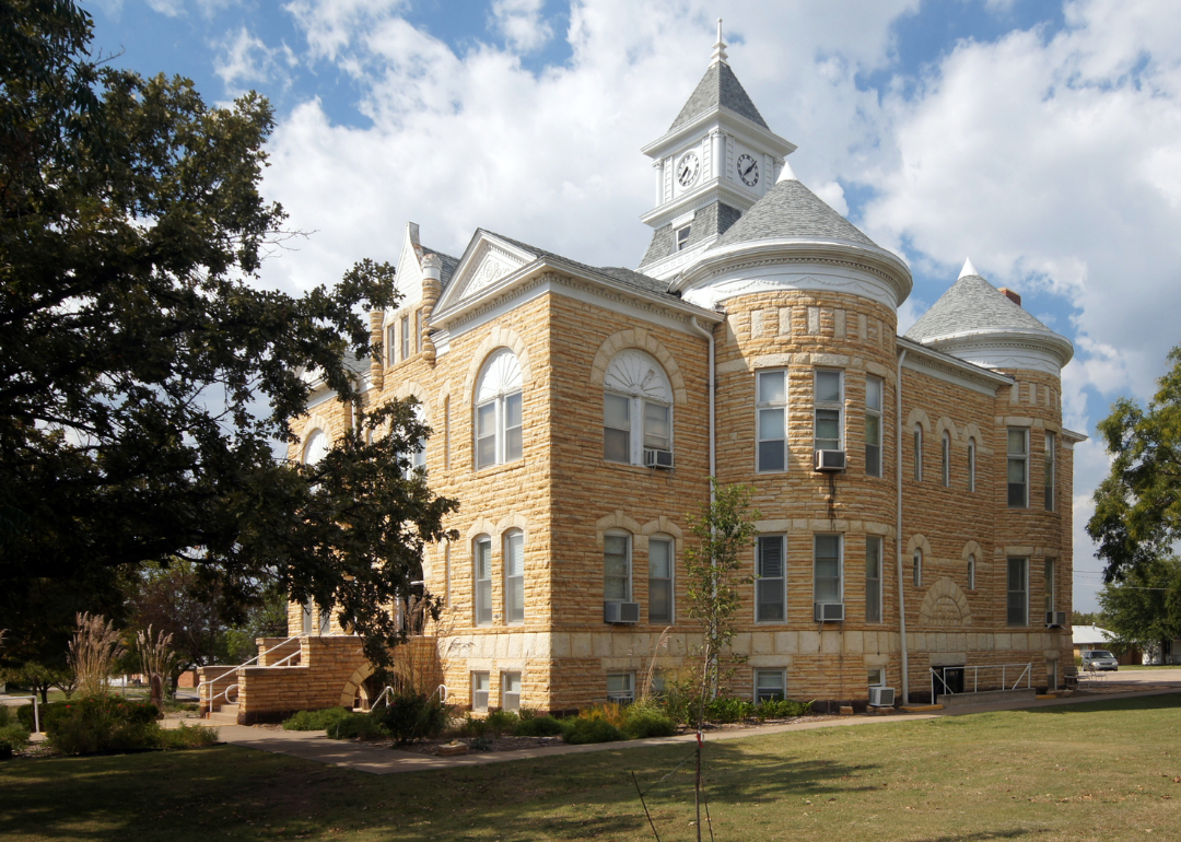
Kansas: Lincoln County
A historic brick courthouse in Lincoln County.
– Share of homes built prewar: 56.4%
– Total prewar homes: 683
Traditionally a farming and ranching region, the development of the railroad helped grow the population in the area. Because wood was scarce, local limestone was used to construct fence posts and 1930s-era public construction projects, which earned the county’s nickname of being the Post Rock Capital of the state. By the 1930s, however, the county’s population was already declining—from a peak of 10,142 in 1910, there are now less than 3,000 living there, according to the Kansas Historical Society.
Canva
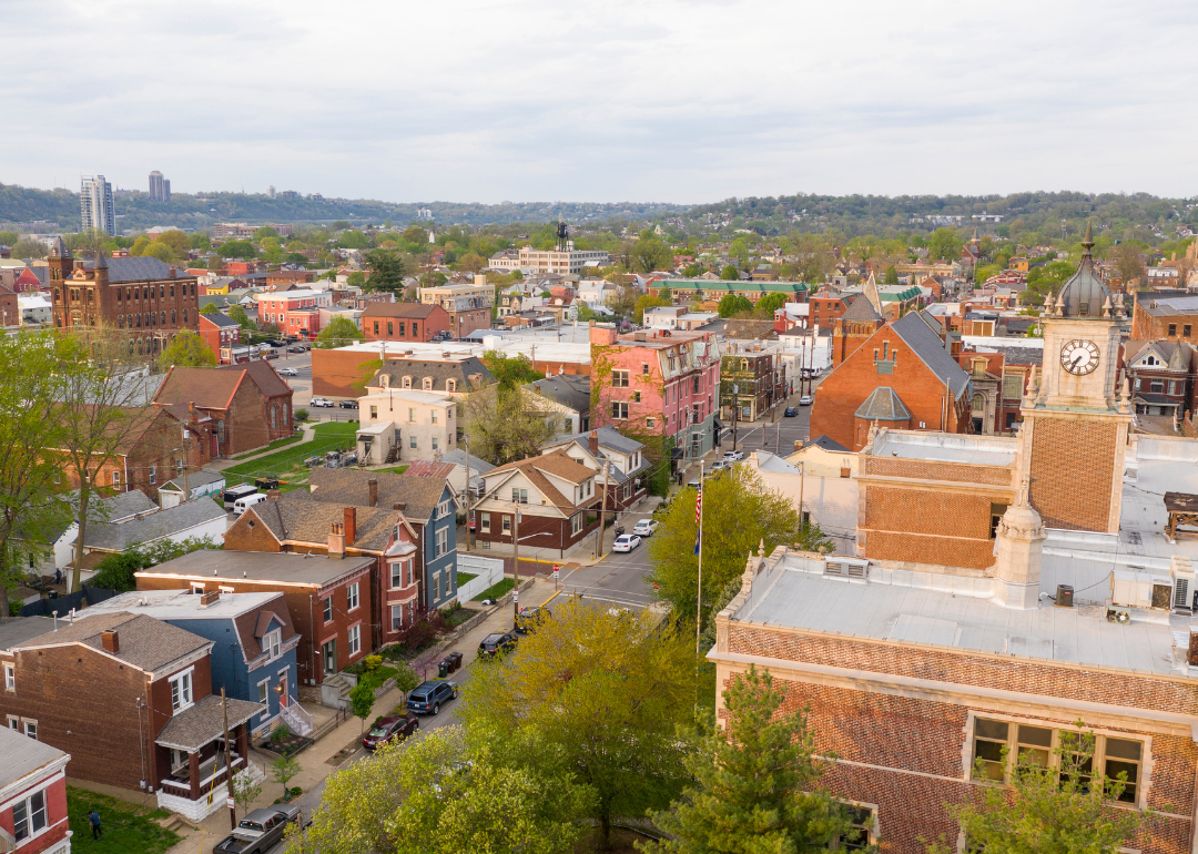
Kentucky: Campbell County
An aerial view of historic homes in Newport.
– Share of homes built prewar: 26.8%
– Total prewar homes: 10,181
Across the Ohio River from Cincinnati, Campbell County is steeped in agriculture and horse breeding. However, a sleepy rural area is becoming more suburban as people from the big city move out and make their homes here. While some landlocked communities don’t have the space for new development, towns with more land, like Alexandria, can build more houses to accommodate the growth.
Canva
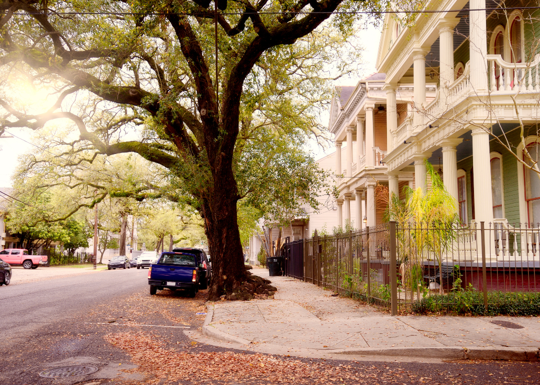
Louisiana: Orleans Parish
A large tree over a street of historic homes in New Orleans.
– Share of homes built prewar: 29.9%
– Total prewar homes: 46,837
The city of New Orleans, which makes up the entirety of Orleans Parish, has a history dating back to the early 1700s, when European settlers first established a trading post there. Still, its growth as a port in the 1800s led to housing development throughout the city. With Creole, French, Spanish, and American influences, various architecture styles developed in the late 1700s to early 1900s, most notably townhomes with iron-railed balconies in the French Quarter; grand homes of the Garden District; and long, narrow shotgun homes designed for the working poor.
Canva
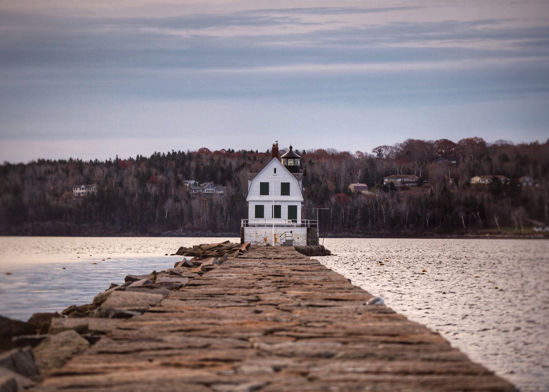
Maine: Knox County
A lighthouse in Rockland with homes across the water.
– Share of homes built prewar: 31.3%
– Total prewar homes: 5,486
One of Maine’s coastal counties, Knox County, and its county seat, Rockland, have a long history of economic development through natural resources, including a post-Revolutionary War limestone boom and post-Civil War granite industry boom. Shipbuilding, fishing, and seafood processing also thrived in the area in the late 1800s. The Great Depression caused many businesses and industries to fold, although the lime industry held out until the late 1950s.
Canva
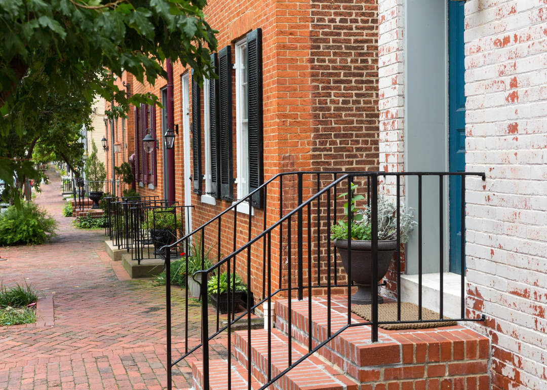
Maryland: Baltimore city
Historic brick row homes.
– Share of homes built prewar: 38.3%
– Total prewar homes: 93,769
Baltimore’s history goes back to the early 1700s, and over the decades, the city grew by leaps and bounds, both in terms of population and area. The rowhouse is Baltimore’s most well-known type of housing. Brought to the U.S. by the British settlers, it has evolved throughout the city’s history—poor workers had narrower homes, and they got more expansive the more money one had. At the beginning of the 20th century, “daylight” rowhouses included enclosed front porches.
Canva
Massachusetts: Suffolk County
Historic row homes in Boston.
– Share of homes built prewar: 47.3%
– Total prewar homes: 149,171
Boston makes up most of Suffolk County, and as one of America’s oldest cities, it celebrates its history through its housing stock. A building boom occurred in the mid-1800s when the city filled marshes and swamps to create the Back Bay neighborhood with its historic rowhouses. Developers today have to contend with the city’s many development restrictions, including laws restricting buildings around Boston Common and the Public Garden from being so tall that they would cause shadows in the parks for more than one hour a day.
Canva
Michigan: Keweenaw County
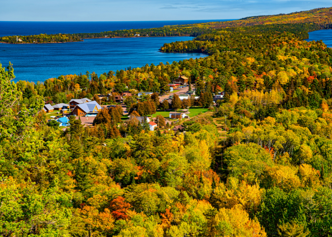
An aerial view of Copper Harbor.
– Share of homes built prewar: 43.7%
– Total prewar homes: 454
Michigan’s northernmost county is also its least populated, with just under 2,200 people. Located in the Upper Peninsula, the development of the copper mining industry in the 1840s brought miners to the region, and the shipping industry followed in the 1860s after the Keweenaw Waterway was dredged. Natural resources are a priority for the county’s residents—in 2022, the Nature Conservancy in Michigan purchased 32,600 acres of working forestland to preserve it for public access.
Canva
Minnesota: Lac qui Parle County
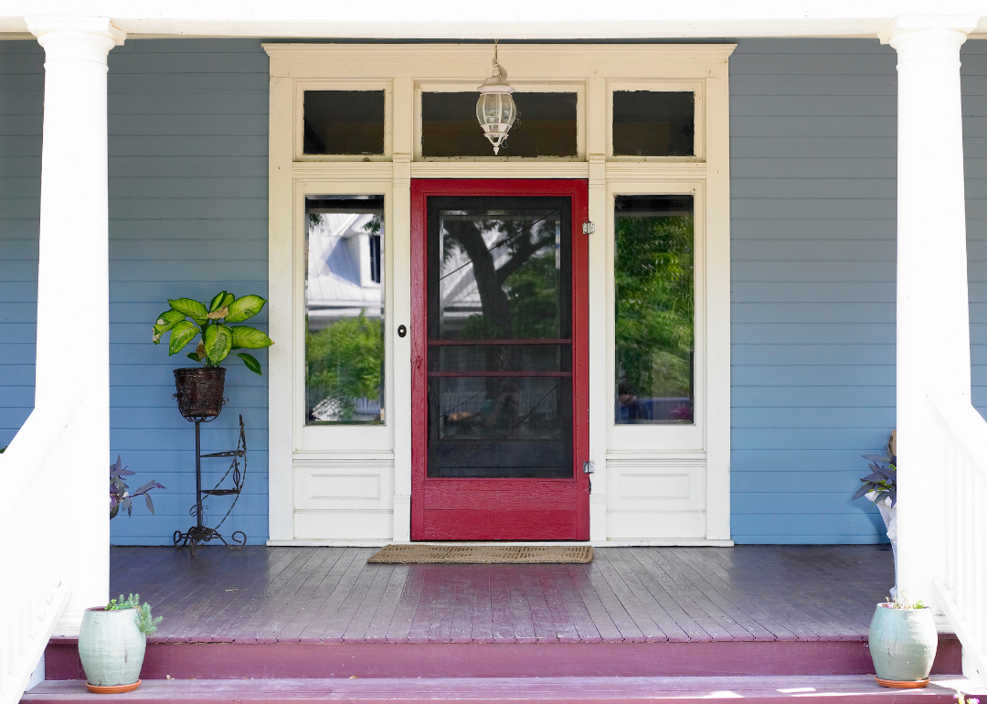
A historic front porch with a red door.
– Share of homes built prewar: 38.8%
– Total prewar homes: 1,103
Located in western Minnesota along the South Dakota border, Lac qui Parle County is a rural area originally part of the Dakota tribe and settled by the French in the early 1800s. The county was established in 1871. Many prominent buildings were built in the county going into the 20th century, including the courthouse in 1899 and a National Guard armory in 1914. After reaching a peak population of 15,509 in 1940, this rural county’s population has fallen by nearly 57%.
Canva
Mississippi: Montgomery County
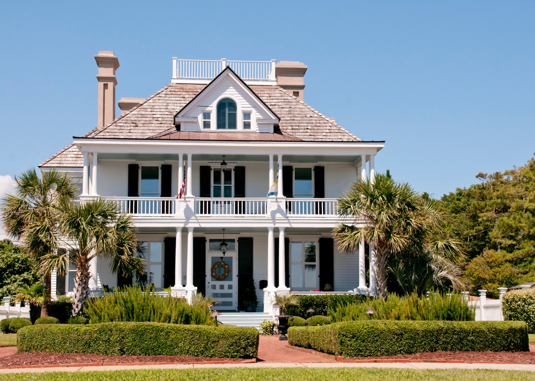
A historic white home with black shutters.
– Share of homes built prewar: 12.9%
– Total prewar homes: 489
Although Montgomery County wasn’t founded until 1871, cotton plantations primarily drove the economy. In the late 1880s, this area was a major part of the state’s Populist movement, which represented farmers who struggled amid falling cotton prices and rising costs. The county’s population peaked at 17,706 in 1910. Its demographics have shifted from a Black majority to a white majority, as Black residents left-—particularly during the Great Migration—in search of better opportunities.
Canva
Missouri: St. Louis city
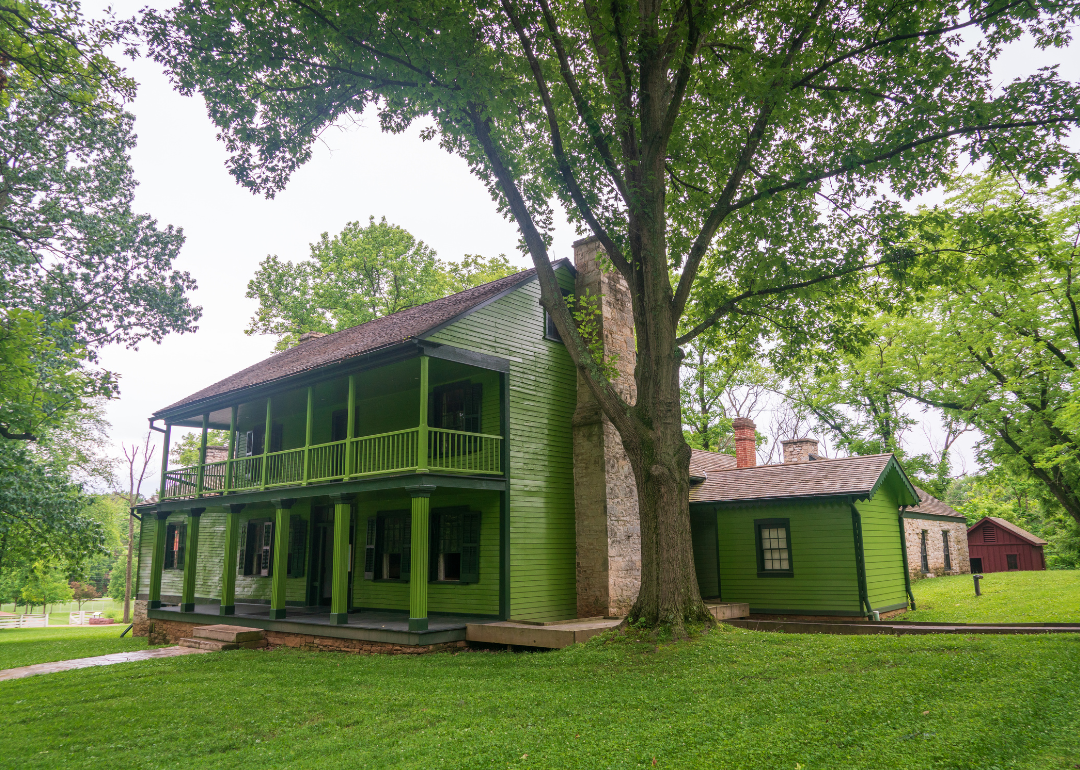
A historic green home.
– Share of homes built prewar: 55.7%
– Total prewar homes: 78,585
As the gateway to the Louisiana Purchase, St. Louis became a major city in the push to settle the West in the first half of the 1800s. At the turn of the 20th century, St. Louis capitalized on the industrialization boom and hosted the 1904 World’s Fair and Summer Olympic Games, which put it on the world stage. But the city’s growth couldn’t continue forever—an 1876 vote had fixed the city’s boundaries and prevented the annexation of other towns, which proved devastating to the city in the 1950s when overcrowding and old housing stock that wasn’t updated during the Great Depression spurred thousands to flee to the suburbs.
Canva
Montana: Silver Bow County
An aerial view of Walkerville.
– Share of homes built prewar: 36.0%
– Total prewar homes: 5,414
The discovery of gold, silver, and copper in the late 1800s brought thousands of people to Silver Bow County and Butte, its central city. The mining industry thrived, and other sectors, including the railroad, spurred the county’s growth until 1920. Consolidation and technological advances meant mining companies needed fewer workers, causing migration from the area.
Canva
Nebraska: Greeley County
Historic two story home.
– Share of homes built prewar: 48.0%
– Total prewar homes: 439
Greeley County was settled in the 1870s by pioneers moving westward, a colony of Seventh-day Adventists who moved south from Wisconsin, and many Irish immigrants who moved there after the Irish Catholic Colonization Association purchased vast tracts of land for their relocation. Agricultural crops and cattle have been consistent economic drivers, along with the railroad that came through the county seat. The population peaked at 8,685 in 1920; in 2022, the population fell by 74%.
Canva
Nevada: White Pine County
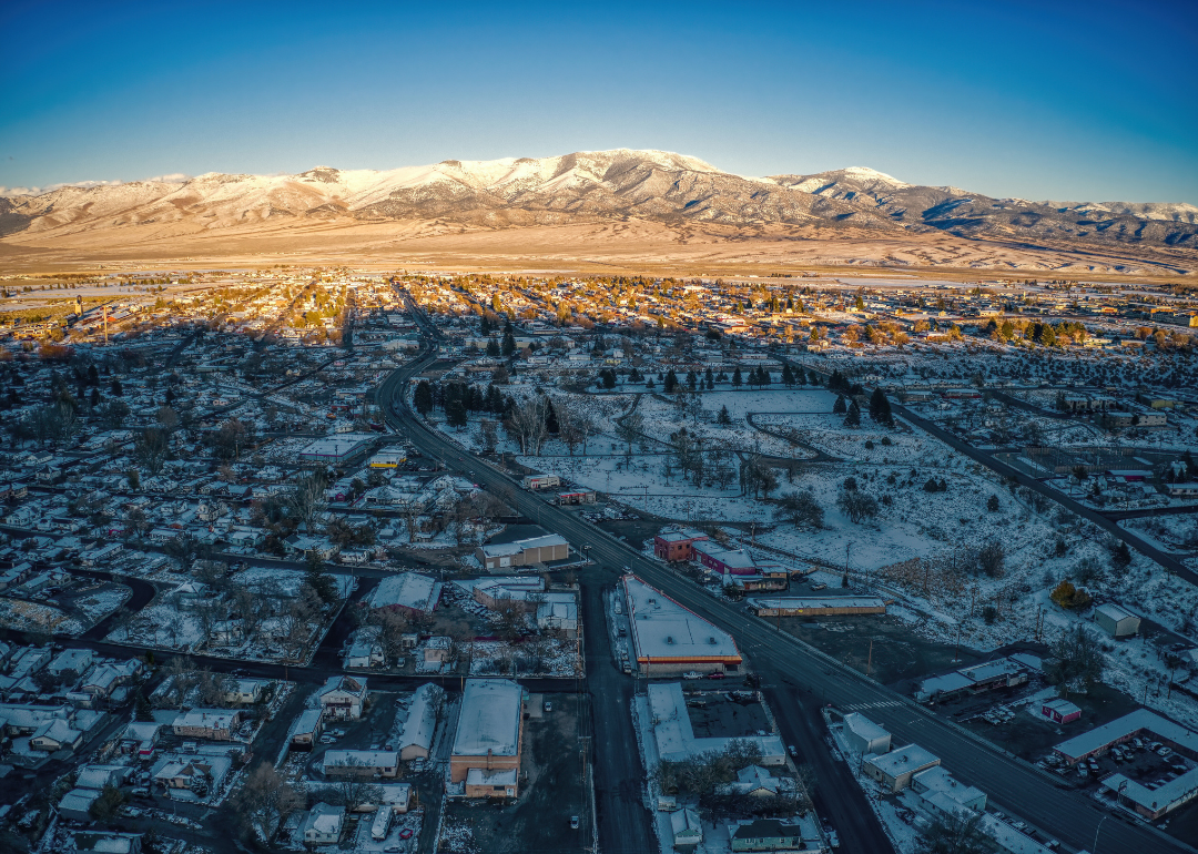
An aerial view of Ely covered in snow.
– Share of homes built prewar: 16.1%
– Total prewar homes: 561
A sleepy outpost on the Pony Express, White Pine County became a boom town due to the 1867 discovery of a silver deposit that was 3.75 miles long and one-third of a mile wide, one of the biggest in North America. By 1870, the county’s population grew to 40,000 people; that number rose with the discovery of copper, but it also declined as mines closed and jobs disappeared. While mining still occurs, the county’s population hasn’t been above 10,000 since the 1940s.
Canva
New Hampshire: Coos County
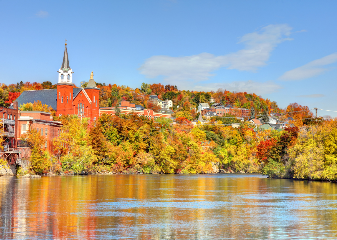
Historic buildings peeking through Fall trees on the water.
– Share of homes built prewar: 35.7%
– Total prewar homes: 4,856
Founded in 1771, New Hampshire’s northernmost county comprises about 20% of the state’s land area but less than 3% of its population. However, if you’re counting the state’s moose and bears, Coos County is home to over half of those populations. Two primary industries helped the county grow in the late 1800s: tourism and paper. The railroad brought people north to the grand hotels of the White Mountains, and abundant forests provided material for pulp and paper mills. The rise of the automobile in the early 1900s took tourists elsewhere, and the paper mills that provided good-paying jobs in the early 20th century slowly closed, hurting the local economy.
Canva
New Jersey: Hudson County
A row of old brownstone homes.
– Share of homes built prewar: 31.6%
– Total prewar homes: 89,403
Just across the Hudson River from Manhattan, Hudson County is New Jersey’s most densely populated, partly due to its small size of just 46 square miles. Throughout the late 1800s, the county was synonymous with immigration, as immigrants flowed through Ellis Island and put roots down in the county. After the Great Depression, residents sought more space and moved to less dense areas. However, the county has experienced a population boom, growing 27% from its 1990 low to 703,366 in 2022.
Catherine M. Hollander // Shutterstock
New Mexico: Harding County
A rock formation in the desert.
– Share of homes built prewar: 22.3%
– Total prewar homes: 45
Cattle ranchers and homesteaders were already a mainstay when Harding County established in 1921, on the inauguration day of its namesake, former President Warren G. Harding. Around 5,000 people lived on its plains and enjoyed vast, open spaces. The 1920s were also peak population years—in the 1930s, the Dust Bowl hit the region hard, and the population dwindled. Today, just over 600 people live there, making it New Mexico’s least populous county.
Sneaky Buddy // Shutterstock
New York: Brooklyn (Kings County)
A row of brownstone homes in Brooklyn.
– Share of homes built prewar: 49.1%
– Total prewar homes: 483,777
First inhabited by the Lenape people, Dutch farmers arrived in this area in 1636. Brooklyn—which makes up the entirety of Kings County—became a major center for manufacturing and sugar refining. The development of the steamboat around 1814 made commuting to Manhattan much more accessible, so Manhattanites moved across the East River, setting off a building boom in Brooklyn. The mid-1800s saw the construction of many wood-framed homes and brick brownstones. The boom died in the mid-20th century as manufacturers left and—ironically—residents moved to more distant suburbs.
Gingo Scott // Shutterstock
North Carolina: Buncombe County
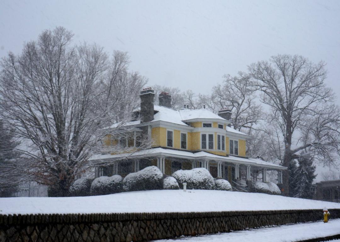
A yellow two story home in the snow.
– Share of homes built prewar: 10.5%
– Total prewar homes: 10,827
The Civil War halted Buncombe County’s economic progress in the first part of the 19th century, but it picked up again when the railroad construction finished in 1880. The county—particularly county seat Asheville—got a reputation as a health resort for the wealthy, and land developers rushed to construct more homes during the 1920s. The Great Depression brought the good times to a halt—five banks failed, and Asheville went into bankruptcy, only finally paying off its bonds in 1976.
Canva
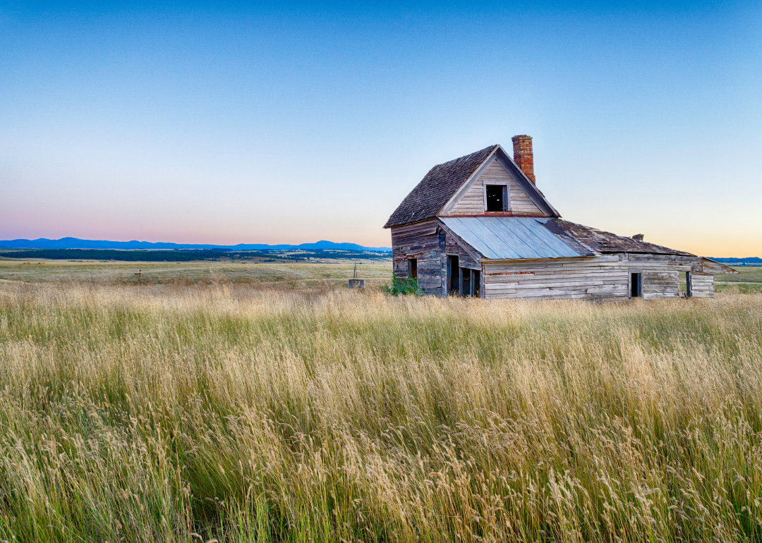
North Dakota: Golden Valley County
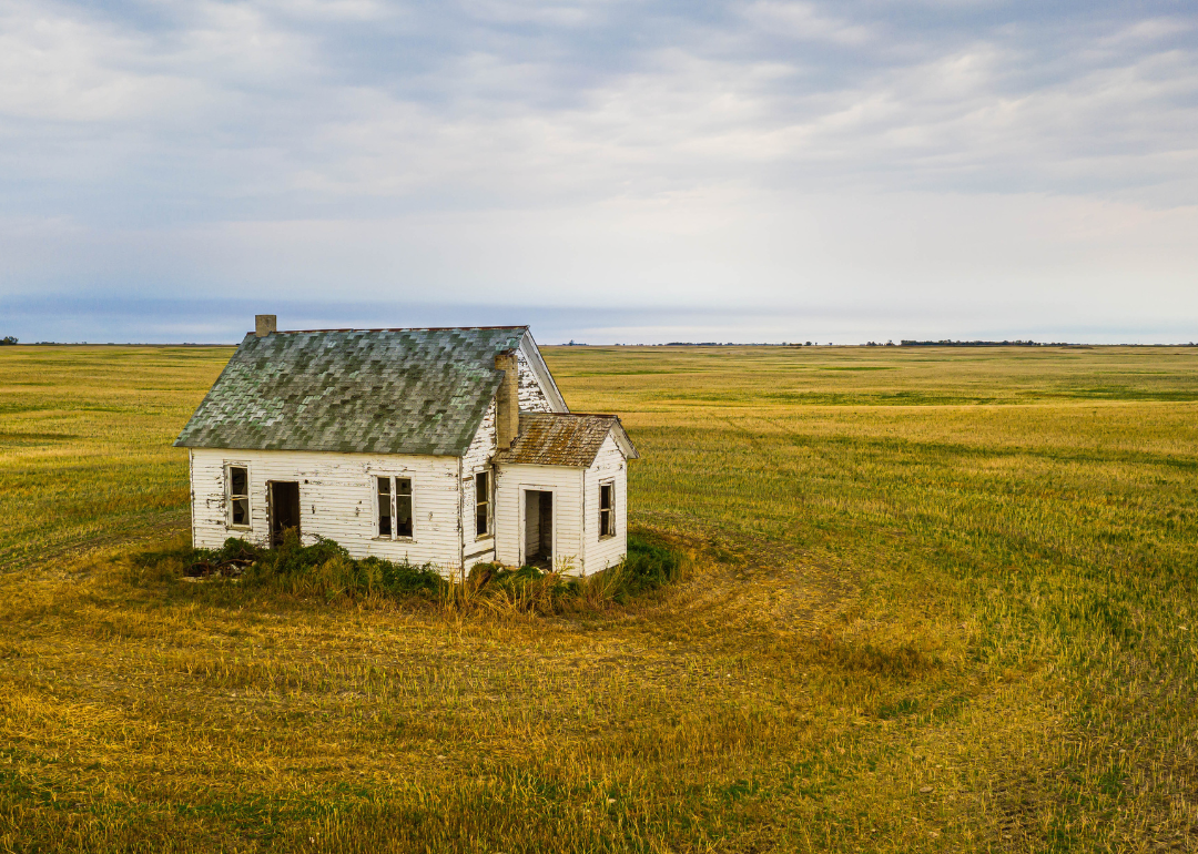
A dilapidated home in a field.
– Share of homes built prewar: 38.7%
– Total prewar homes: 278
Golden Valley County had as many as 22 towns at one time, but today, only three remain. Located on the Montana border, the county settled in the early 1900s, as work on the U.S. Land Survey started, which would allow homesteading in the region. County seat Beach quickly grew from 1905 to 1915 to serve the newcomers and the burgeoning grain industry, but then the growth was over as quickly as it started, and many communities in the county became ghost towns.
Keith J Finks // Shutterstock
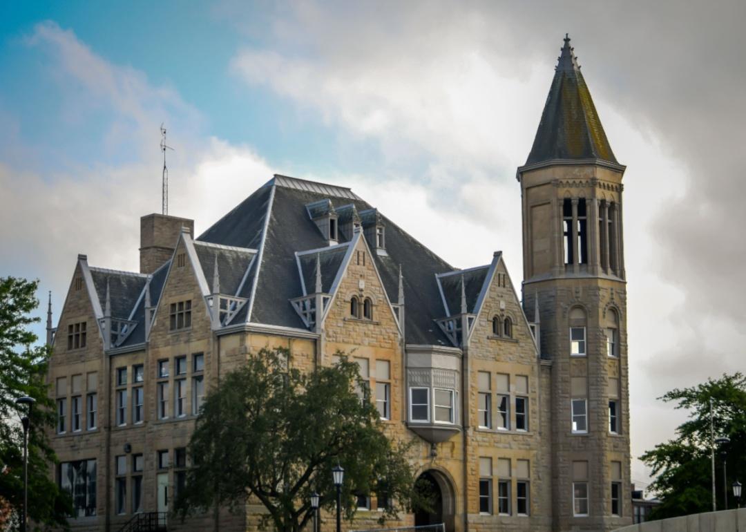
Ohio: Seneca County
A historic stone school building.
– Share of homes built prewar: 34.8%
– Total prewar homes: 7,602
The discovery of natural gas in 1888 brought industry and manufacturing to this agricultural region of Northwest Ohio. Industrial growth in the form of glass, porcelain, and brickmaking helped grow Tiffin, the county seat. A major flood in 1913 caused over $1 million in property damage and destroyed 46 homes.
Canva
Oklahoma: Alfalfa County
A small historic ranch house.
– Share of homes built prewar: 30.0%
– Total prewar homes: 543
Alfalfa County lies along the Kansas border and came into existence when Oklahoma became a state in 1907. Much of the county was used for cattle ranching and wheat farming, and as railroads were built in the early 1900s, the population also grew. It hit a peak population of 18,138 in 1910, but soon after, farms started consolidating, leading to a population decline.
Gary L. Quay // Shutterstock
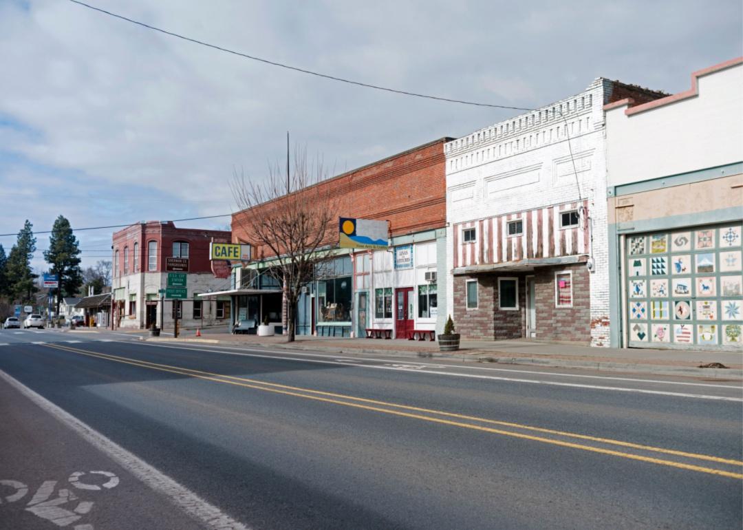
Oregon: Sherman County
Old buildings in downtown Moro.
– Share of homes built prewar: 35.0%
– Total prewar homes: 249
Sherman County sits along the Oregon Trail in northern Oregon. An agricultural area known for wheat and barley production, the construction of railroads was responsible for much of the economic growth in the towns of Grass Valley and Wasco between 1910 and 1920. The population then declined due to more farming automation, railroads closing, and the Great Depression.
duckeesue // Shutterstock
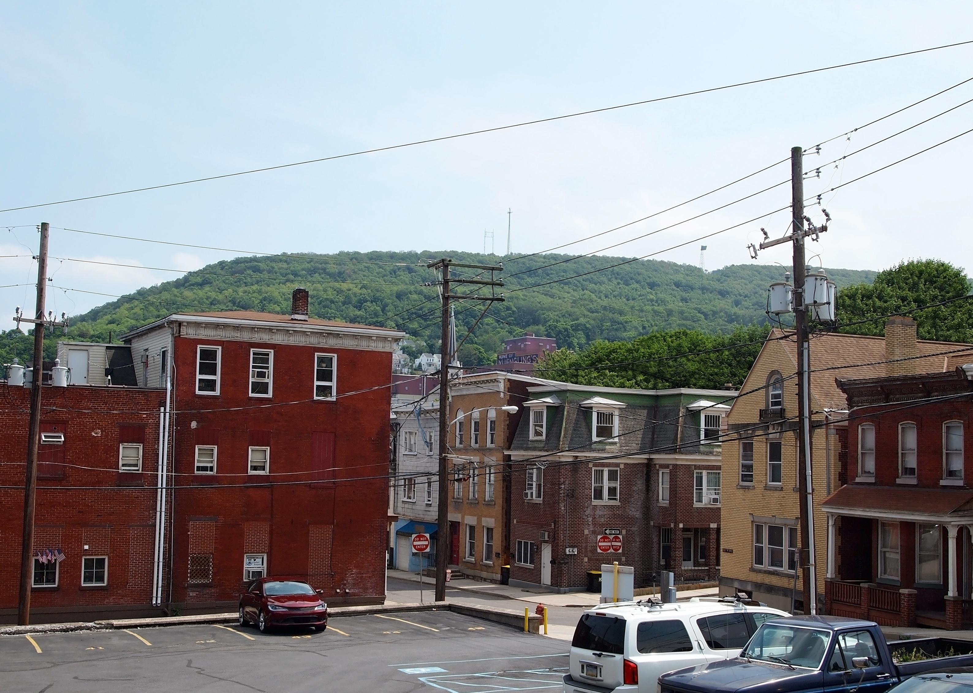
Pennsylvania: Schuylkill County
Downtown Pottsville.
– Share of homes built prewar: 43.4%
– Total prewar homes: 24,657
Anthracite coal mining contributed to Schuylkill County’s growth throughout the late 1800s and its decline. Companies brought in immigrant labor from Europe, but coal strikes in 1902 and 1925-1926 caused many workers to leave the region, hurting consumer confidence. New mining technologies and alternative heating sources led to the industry’s collapse after World War II.
Canva
Rhode Island: Providence County
The Providence skyline.
– Share of homes built prewar: 35.1%
– Total prewar homes: 87,514
Going back to 1636, Providence County has centuries of history, reflected in the number of historical homes in the area. In the 1700s, it played a significant role in trade. After the Civil War, the rise of the wool and jewelry industries led to another building boom that produced many Colonial Revival- and Queen Anne-style homes. The decline of industry in Providence spurred people to move to the suburbs, but even so, new housing can be hard to find—Rhode Island ranks last in the country for issuing new home permits.
Malachi Jacobs // Shutterstock
South Carolina: Union County
The exterior of a historic inn with great columns in Union.
– Share of homes built prewar: 14.3%
– Total prewar homes: 1,594
Union County’s history includes many cycles of economic growth and decline. In the early 1800s, cotton farming led to the rise of plantations and enslaved people, but by the 1830s, improper farming practices made the soil unusable and led to migration from the county. After the Civil War, the county was impoverished, but the development of cotton mills near the turn of the century created a need for more workers and places for them to live.
Canva
South Dakota: Douglas County
An abandoned ranch house on a prairie.
– Share of homes built prewar: 41.1%
– Total prewar homes: 448
The Great Dakota Boom helped settle this area of southeastern South Dakota. Settlers lured by the potential of the Homestead Act of 1862 could get 160 acres of land for free if they lived on it for five years. Towns built up here in the late 1880s, thanks to the development of the railroad, but the good times didn’t last—Douglas County hit its peak population of 7,236 in 1930.
Nolichuckyjake // Shutterstock
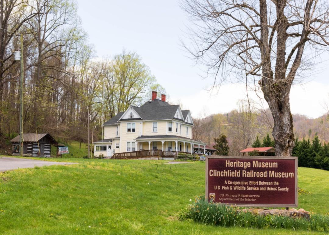
Tennessee: Unicoi County
An old home at a railroad museum in Erwin.
– Share of homes built prewar: 11.6%
– Total prewar homes: 883
The northeastern part of Tennessee, known as Unicoi County, was settled in the late 1770s, but Unicoi didn’t come into existence until 1875, forming from two neighboring counties. Initially populated by farmers, the county grew with the development of the railroad in the late 1880s. A U.S. fish hatchery opened in 1897, and Southern Potteries opened in 1916, bringing more jobs to the area throughout the 1940s.
Gestalt Imagery // Shutterstock
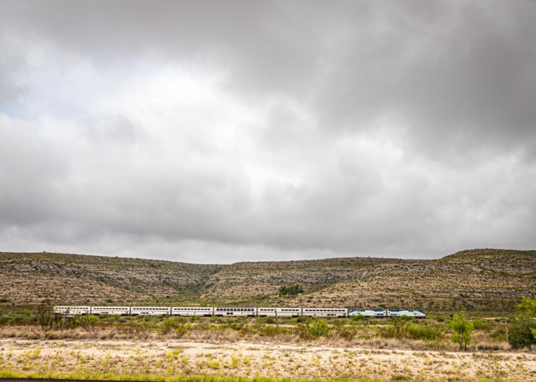
Texas: Terrell County
A train going through Terrell County.
– Share of homes built prewar: 37.8%
– Total prewar homes: 161
When Terrell County was created in 1905, the railroad had already arrived in the Big Bend area of southwestern Texas. Ranching drove the economy in the county’s early days and helped drive the population. However, the population peaked at 3,189 in 1950 and started declining as railroad jobs disappeared and people moved to cities for work.
Canva
Utah: Rich County
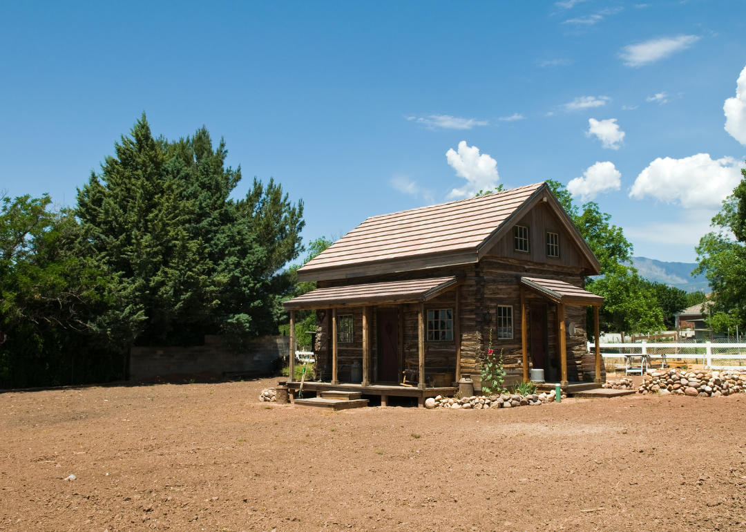
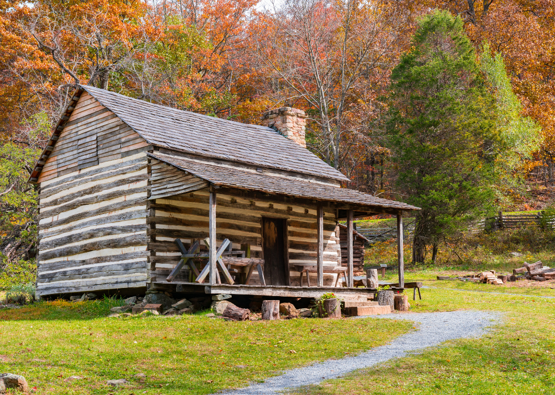
A small old log house.
– Share of homes built prewar: 26.2%
– Total prewar homes: 173
The area that became Rich County was first popular with fur traders in the early 1800s. After the Homestead Act of 1862 passed, Mormon leader Brigham Young sent Charles C. Rich to the state’s northeastern corner to claim land before non-Mormons could do so. Although the area has harsh winters, the land is suitable for farming and livestock, and these industries help drive the local economy.
Canva
Vermont: Rutland County
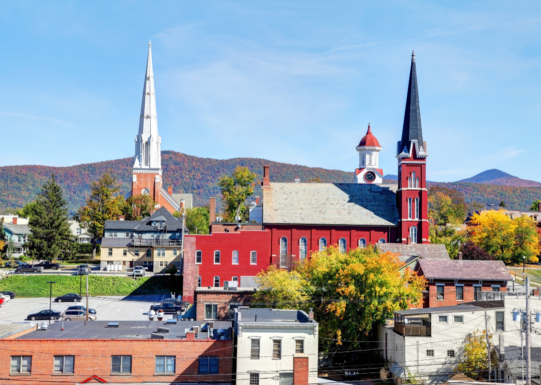
Historic buildings in Rutland.
– Share of homes built prewar: 35.5%
– Total prewar homes: 8,880
Rutland County can trace its roots back to before the Revolutionary War. In the 1830s, marble quarrying became a prominent industry, followed by the development of the railroad. Industrialization in the late 1800s to early 1900s helped the county become the world’s largest producer of marble.
Canva
Virginia: Lexington city
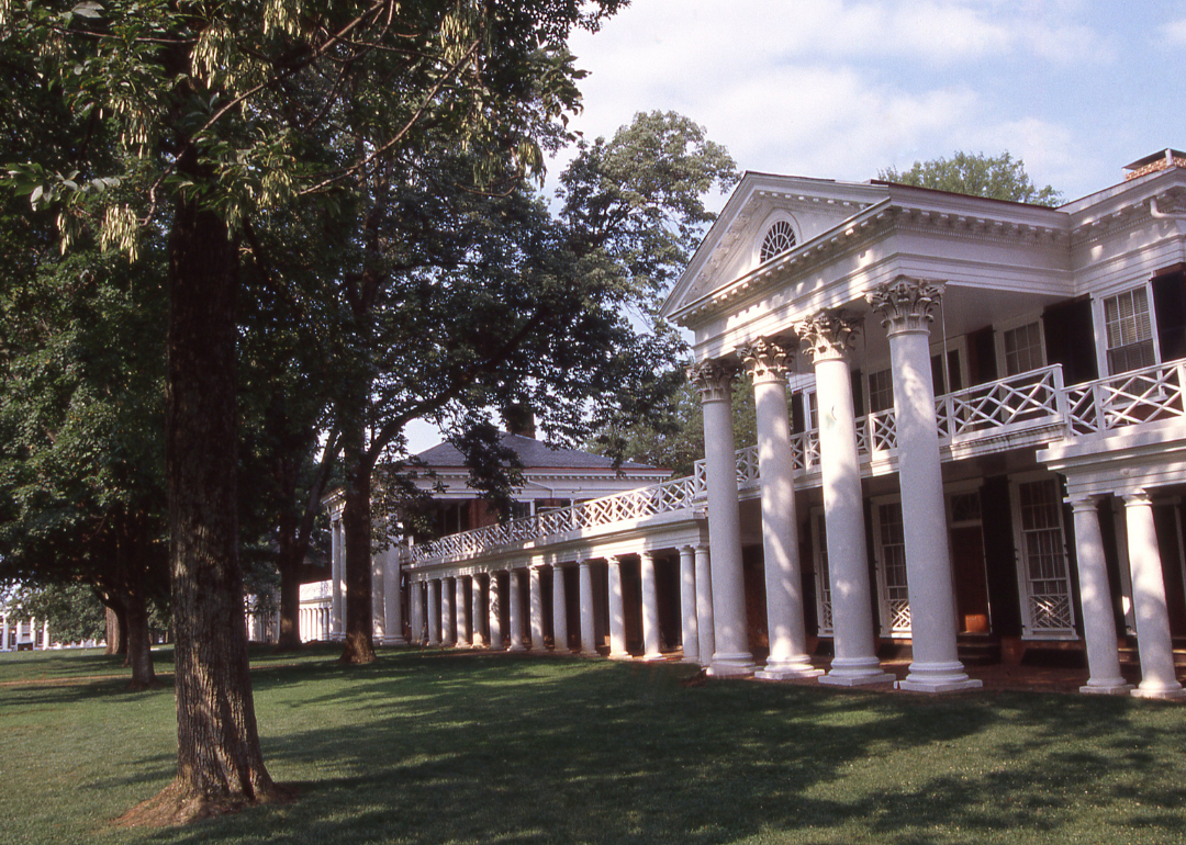
William and Lee University in Lexington.
– Share of homes built prewar: 38.5%
– Total prewar homes: 772
This city is an independent entity within—though also serving as the seat of—Rockbridge County in the central Shenandoah Valley. It’s home to Washington and Lee University, established in 1790 as Liberty Hall Academy, and Virginia Military Institute, established in 1839. The city did not escape the Civil War unscathed—it was a target of Union troops in 1864. After that war, the Reconstruction era brought instability to the region, but the development of the railroad industry and a real estate boom in the late 1800s brought more growth.
davidrh // Shutterstock
Washington: Garfield County
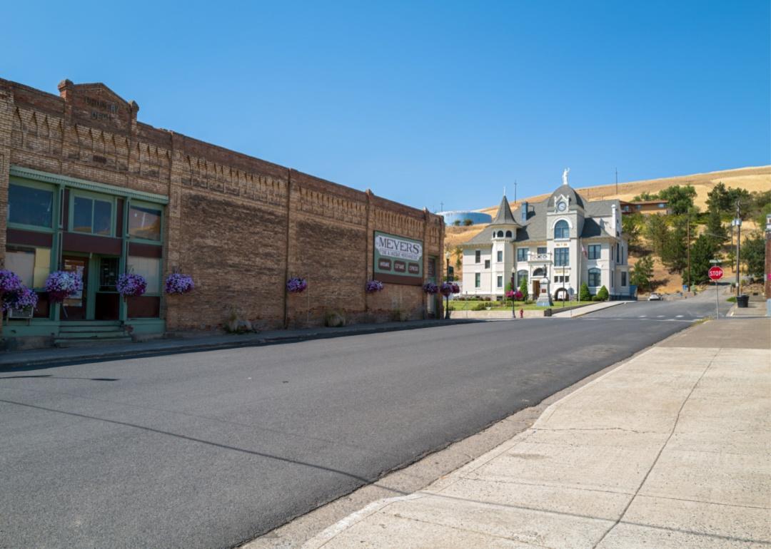
Pomeroy courthouse and historic buildings.
– Share of homes built prewar: 38.9%
– Total prewar homes: 391
This area of southeastern Washington officially became a county in 1881, although settlers had been in the region throughout the 1800s. Primarily an agricultural area, the development of the railroads in the late 1800s did boost some—but not all—of the town’s fortunes. The Panic of 1893 hurt the region, and several fires significantly damaged Pataha City and Pomeroy. Technology was a boon to the farming industry in the 1910s and 1920s. Still, the Great Depression wiped out those gains, causing a population drain and helping cement the county’s status as the least populous in the state, a title it still holds today.
Canva
West Virginia: Ohio County
A homestead cabin.
– Share of homes built prewar: 31.8%
– Total prewar homes: 5,556
This Northern Panhandle county’s history dates back to pre-Revolutionary War times. In the 1800s, its county seat, Wheeling, became a triple-threat transportation hub. It was a terminus for pioneers traveling on the National Road; it built a suspension bridge over the Ohio River, giving people more access to Ohio; and the railroad came to town, which helped build the local economy. After the Civil War, many industries developed, including nails, steel, and coal; however, in the last half of the 20th century, many left the area.
Canva
Wisconsin: Lafayette County
A historic home at sunset.
– Share of homes built prewar: 32.9%
– Total prewar homes: 2,191
This county in Southwest Wisconsin became a major lead mining area in the early 1800s. Mining created a population boom in the region that peaked in 1870, but the industry remained relevant throughout the 20th century. The area is also a farm region known for its dairy and cheese production.
Canva
Wyoming: Niobrara County
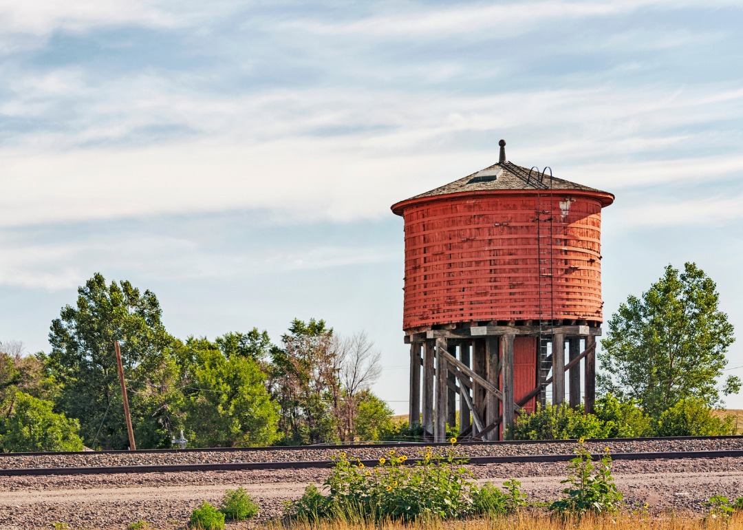
A historic red water tower in Lusk.
– Share of homes built prewar: 29.3%
– Total prewar homes: 298
Before Niobrara County was incorporated in 1911, it was a stop on a stagecoach road between Cheyenne, Wyoming, and the gold mines of the Black Hills. It had its own mining camps, and fossil hunters combed the area for dinosaur bones. The discovery of oil and natural gas in the 1910s created a boom for some residents. Still, farmers, ranchers, and bankers went broke after crop and livestock prices took a nosedive after World War I, setting off a depression in the region. The Great Depression 10 years later hit the oil industry, which, too, went into free fall, but creating a refinery helped stabilize the county’s economy. The population, however, has fallen off, and it has since become Wyoming’s least populated county.
Data reporting by Elena Cox. Story editing by Jeff Inglis. Copy editing by Paris Close. Photo selection by Lacy Kerrick.
This story originally appeared on Rocket Homes and was produced and
distributed in partnership with Stacker Studio.
