States with the most cars per capita
Canva
States with the most cars per capita
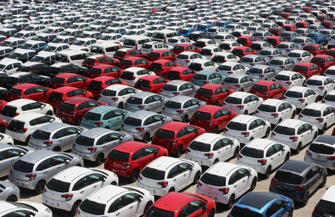
A crowded parking lot full of red and white cars.
While Europe’s Interrail system is famous for connecting countries by train, travel culture within the United States has always been car-centric. The means and opportunity for interstate and cross-national travel were forever changed by the passage of the Federal-Aid Highway Act of 1956 and the resulting construction of the Interstate Highway System. From the vantage of the early 21st century, it is remarkable to think people’s ability to traverse the country was limited to local, often rural, roadways less than a generation ago. The completion of the IHS and subsequent growth in interstate traffic capacity was a major boon to the automotive industry, and car ownership shot up exponentially as a result.
Unsurprisingly, America is a land of cars, its national infrastructure having been designed to promote a culture of personal vehicles over public transportation. At least 9 in 10 households in the U.S. have access to at least one car. The country’s massive geographic size, coupled with the sprawl of rural, suburban, and micropolitan areas, has led to the U.S. becoming largely car-dependent. In contrast, many residents in European countries cycle and walk more frequently, largely due to public transit and city design development, as well as the much higher cost of automobile ownership relative to that in the U.S.
Unfortunately, this means America is also a land of car accidents. The National Highway Traffic Safety Administration estimates 31,785 people died in traffic crashes in the first nine months of 2022 alone. Moreover, people have returned to the road in near pre-COVID-19 pandemic numbers, with vehicle miles traveled rising by nearly 36 billion over 2021 totals as of November 2022.
The General compiled a list of states with the most cars per capita using 2020 vehicle registration data from the Federal Highway Administration and population data from the Census Bureau. Statistics include personal, commercial, and publicly owned vehicles.
America encompasses both starkly rural and highly urban areas, and car ownership reflects that. States with large cities, like New York and Illinois, tend to have more robust public transportation systems and the least amount of cars per capita. Large, rural states with low population densities, like Alaska and North Dakota, bear a greater dependence on personal vehicles to travel from area to area.
Read on to discover which states have the most vehicles and how their infrastructure has adapted to keep roads safe.
![]()
Mark Herreid // Shutterstock
#10. Minnesota
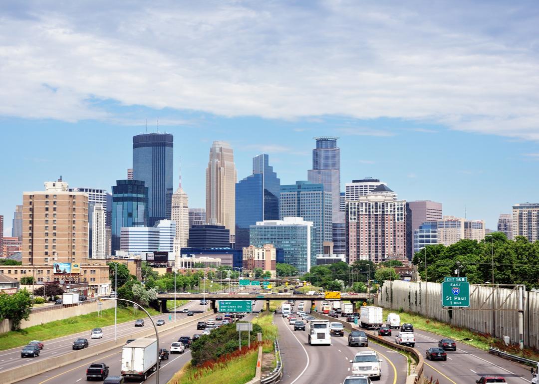
Cars driving in and out of downtown Minneapolis on Interstate Highway 35W.
– Total motor vehicles per capita: 1.00
— Cars per capita: 0.32
— Trucks per capita: 0.63
— Motorcycles per capita: 0.04
Due to famously heavy snowfall in the state, Minnesota’s Department of Transportation employs 155 mechanics and more than 1,800 full- and part-time drivers to maintain and operate its fleet of over 800 snow plows and salt trucks. MnDOT even tasked the public with naming new plows to raise visibility for snow maintenance. Besides vehicles designed to handle inclement weather, drivers in the land of 10,000 lakes also favor motorcycles; as of 2021, more than 203,000 registered motorcycles are out on Minnesota roadways.
Minnesotans are also amid a push toward electric vehicles, with Drive Electric MN providing guidance on integrating infrastructure to encourage the use of nondiesel-dependent cars. There are currently over 200 public charging stations across Minnesota.
Khairil Azhar Junos // Shutterstock
#9. Delaware
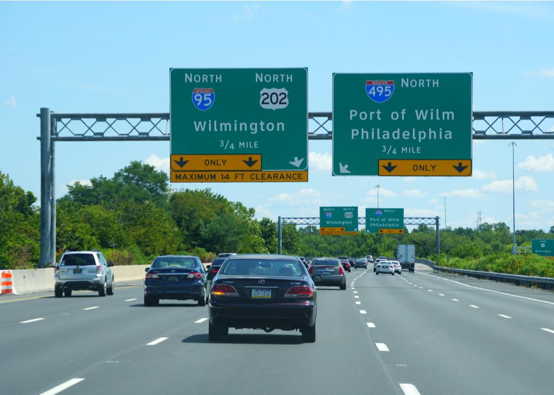
Highway signs and cars driving on Interstate 95 in Wilmington, Delaware.
– Total motor vehicles per capita: 1.01
— Cars per capita: 0.42
— Trucks per capita: 0.59
— Motorcycles per capita: 0.00
Drivers in Delaware travel 8.3 billion miles per year. After 2022 set a 30-year record with 165 traffic deaths, the state introduced a Zero Tolerance Speed Initiative for drivers in January 2023. The Bureau of Transportation Statistics estimated in a 2020 state report that nearly 4 in 5 workers in Delaware get to and from work as single-car drivers, higher than the national average. Moreover, licensed drivers and registered vehicles have risen, while transit ridership has gone the other way.
Inbound Horizons // Shutterstock
#8. Idaho
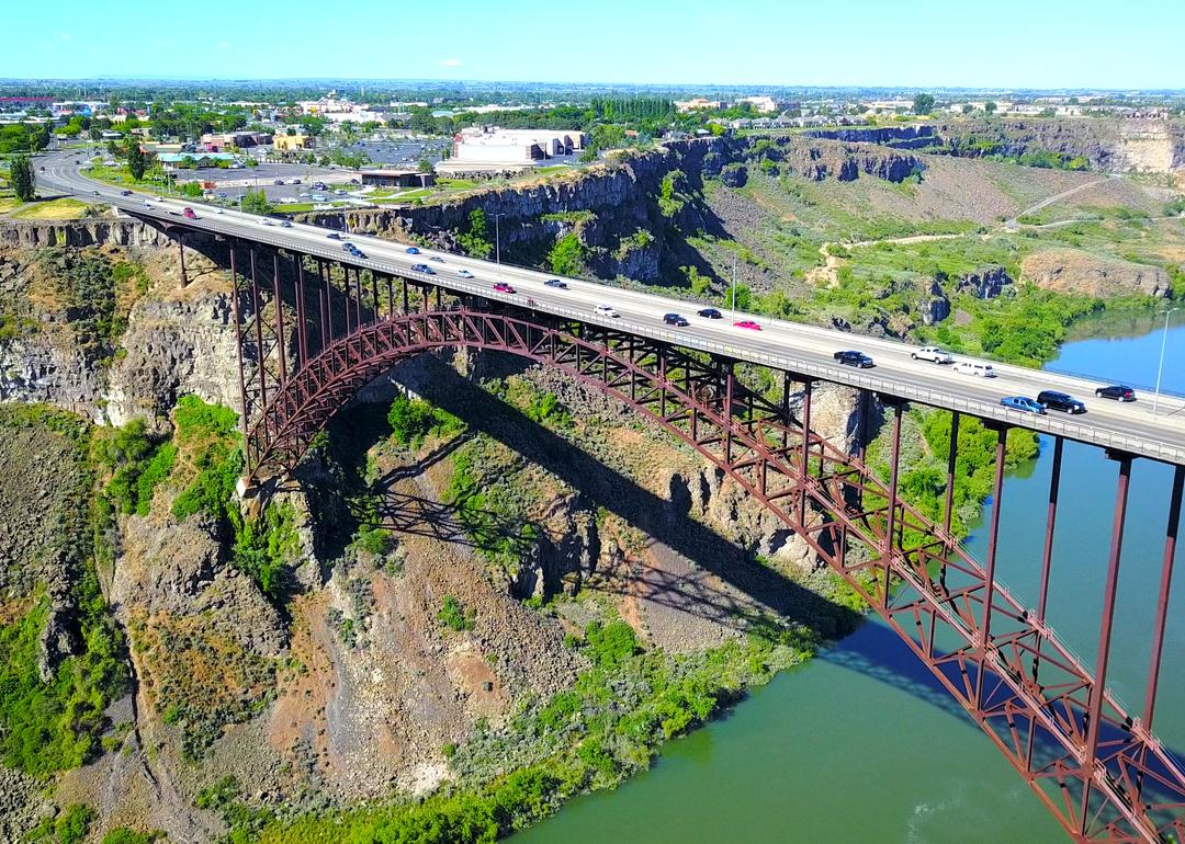
A distant aerial view over River Canyon as cars cross over Perrine Bridge in Twin Falls.
– Total motor vehicles per capita: 1.04
— Cars per capita: 0.32
— Trucks per capita: 0.68
— Motorcycles per capita: 0.03
Because Idaho is largely rural, its roads are not well-equipped to handle the influx of vehicles that have come in the wake of increasing residential and commercial development. Many nonhighway roads are under local jurisdictions, and because the state’s transportation department is not funded to maintain them, they can become nearly impassable during inclement weather.
In 2015, state officials increased the gas tax by 10 cents per gallon as part of a $20 million initiative to fund road development. License plate registration is another considerable source of revenue for the state’s transportation department. Unfortunately, the state has an exceptionally high rate of “transplants”—those who have resided in Idaho for more than 90 days but have not registered their vehicles with the state.
SunflowerMomma // Shutterstock
#7. Alabama
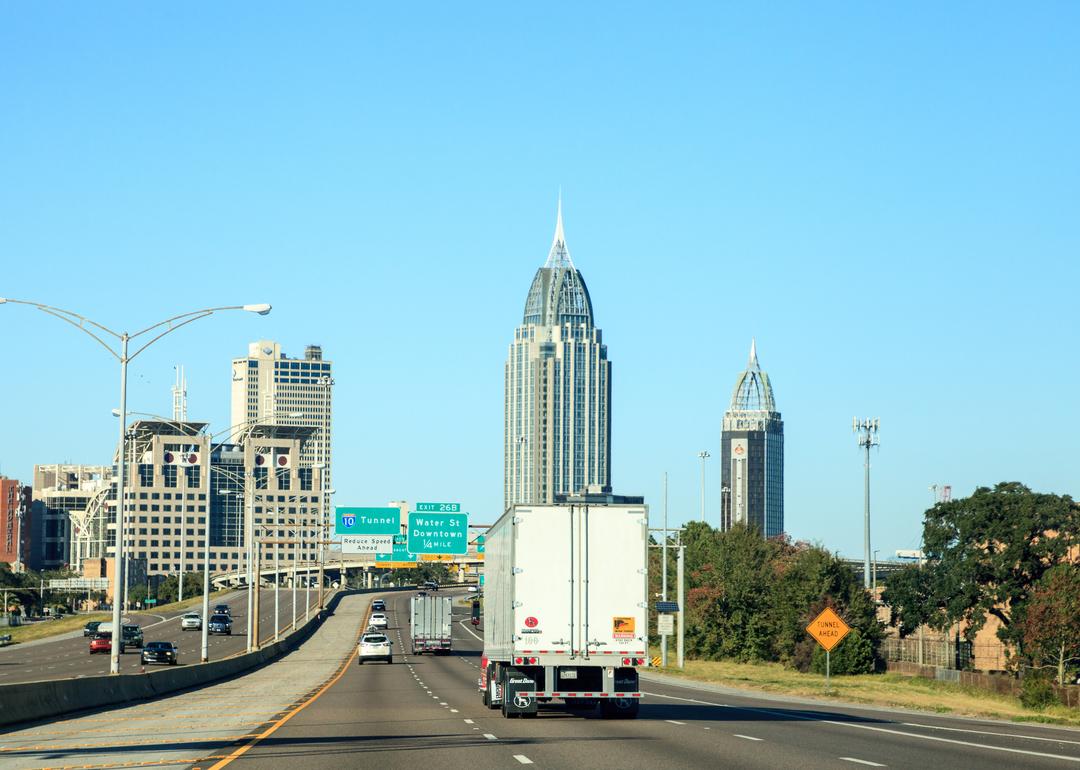
Cars driving on a highway leading into downtown Mobile, Alabama.
– Total motor vehicles per capita: 1.06
— Cars per capita: 0.40
— Trucks per capita: 0.63
— Motorcycles per capita: 0.02
Alabama recently passed new laws regulating driving in the state, including requiring backseat passengers to wear seat belts (previously, only front-seat drivers were required) and forbidding driving in the left lane of the highway for more than 1.5 miles at a stretch.
In January 2023, the state introduced a new, stricter system for implementing Taylor’s Law, which starts monitoring students at just 13 for offenses that could affect their ability to obtain a driver’s license at 16. Under the new system, being suspended or expelled accrues “points,” with enough points delaying eligibility to get a license.
Many roads in Alabama experience a high level of truck traffic. This, combined with steep hills in areas near the Appalachian Mountains, has led to some highways being notorious for vehicle accidents.
Jay Juno // Shutterstock
#6. Alaska
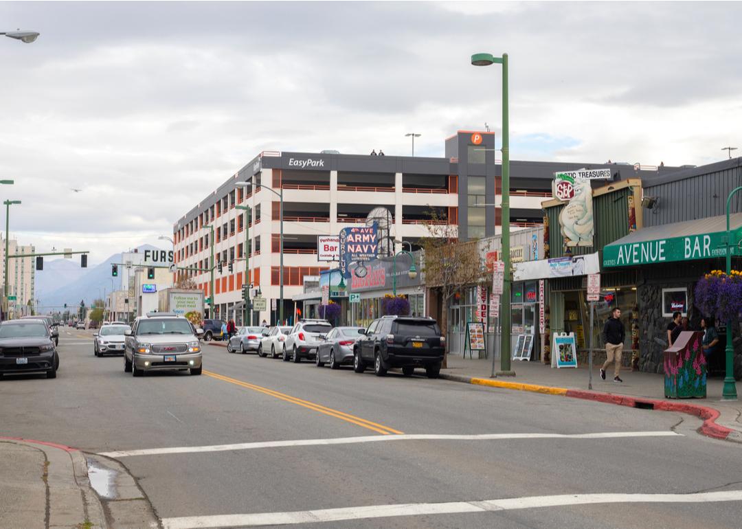
Downtown traffic in Anchorage, Alaska, as seen on a cloudy day in the summer of 2019.
– Total motor vehicles per capita: 1.08
— Cars per capita: 0.23
— Trucks per capita: 0.80
— Motorcycles per capita: 0.04
As one of the least densely populated states in the nation, Alaskan roadways are few and far between outside of its major cities. Citizens often rely on all-terrain vehicles and air travel to traverse populated areas. The stretches of road that do exist are largely taken up by trucks, as the logging industry is significant.
The infamously rough weather in the state—coupled with long, largely empty stretches of highway—poses a high risk to drivers, particularly along isolated roads such as the Dalton Highway and Richardson Highway, which have been plagued by avalanches, limited visibility, and even collisions with moose. The Dalton Highway, in particular, has been coined “the loneliest road on Earth” and one of the most dangerous roads in America.
Guy William // Shutterstock
#5. North Dakota
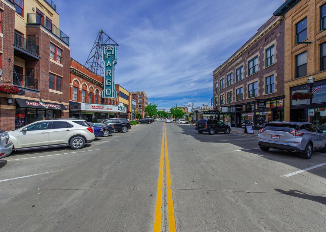
A theater on a street in Fargo, North Dakota, as seen during summer.
– Total motor vehicles per capita: 1.15
— Cars per capita: 0.28
— Trucks per capita: 0.83
— Motorcycles per capita: 0.05
North Dakota pairs a low population density with long stretches of highway, meaning drivers in the state are used to traveling long distances without depending on gas stations or repair shops. Consequently, sturdy pickup trucks are common, with the most popular vehicle in North Dakota being the Ford F-150.
Drivers must be cautious during the state’s harsh winters, with citizens encouraged to keep survival kits in their cars in case of accidents or storm strandings. North Dakota has one of the highest imbalances of urban versus rural traffic fatalities in the U.S., with at least 3 in 4 taking place on rural roads in 2020.
FTiare // Shutterstock
#4. Iowa
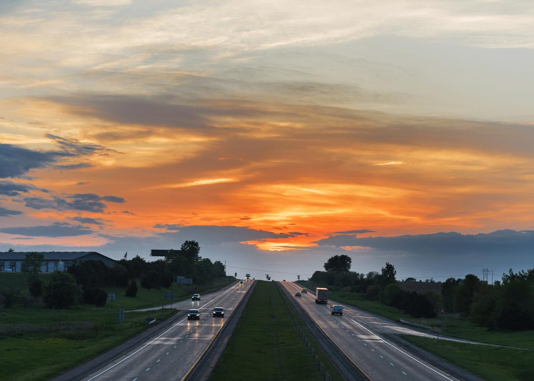
The sun setting over the horizon with I-80 winding its way through the landscape.
– Total motor vehicles per capita: 1.19
— Cars per capita: 0.36
— Trucks per capita: 0.76
— Motorcycles per capita: 0.06
Like North Dakota, Iowa has a low population density, resulting in long stretches of rural roadways. Unsurprisingly, the state is among the 10 most dangerous to drive in snow. State officials are pushing to ban the use of hand-held phones in cars altogether to curb distracted driving. In 2021, the Iowa Department of Public Safety christened April as Distracted Driving Awareness Month to alert the public to a perceived greater risk of fatalities on the state’s “not very forgiving” roads.
Ben Harding // Shutterstock
#3. South Dakota
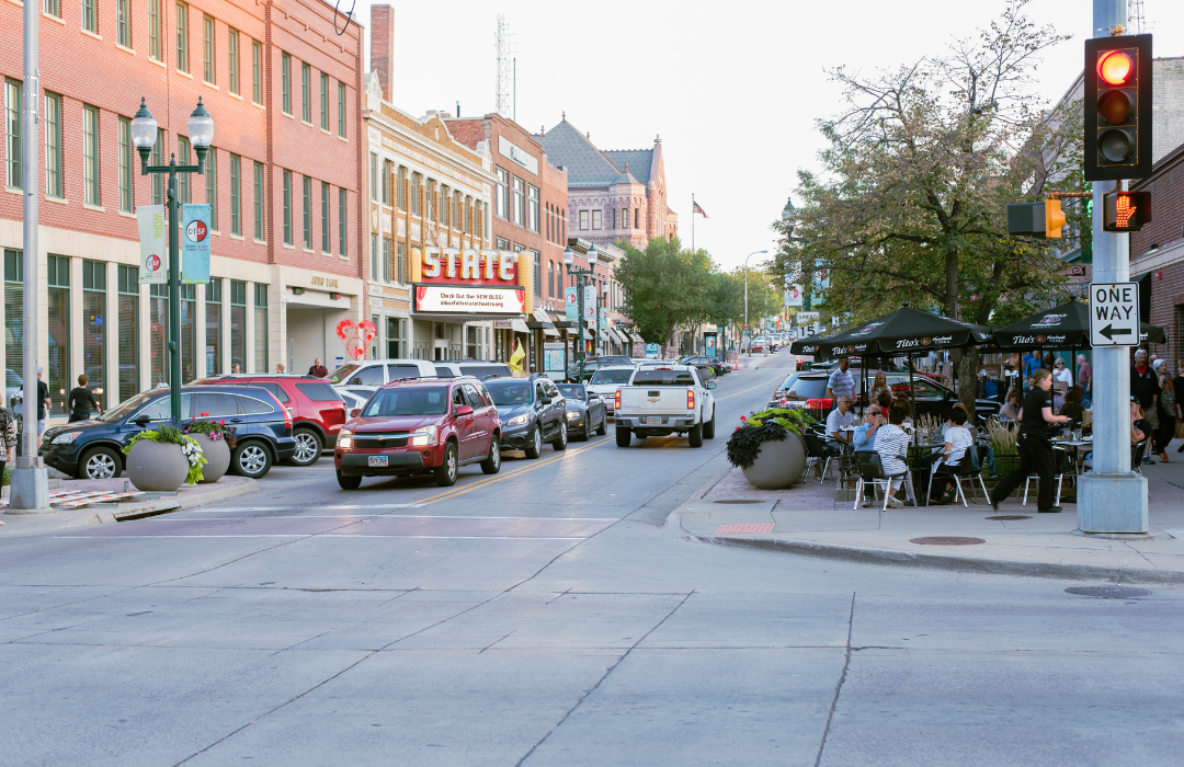
Cars driving through Sioux Falls’ downtown entertainment district in South Dakota as people enjoy the fall weather outdoors.
– Total motor vehicles per capita: 1.46
— Cars per capita: 0.37
— Trucks per capita: 0.94
— Motorcycles per capita: 0.15
Though it attracts many tourists as a scenic route to Mount Rushmore, Iron Mountain Road in South Dakota is also one of the state’s most dangerous. Sharp curves, turns, and switchbacks pose risks for drivers, especially when paired with winter weather. Even the most well-traveled roads in South Dakota are sometimes closed off to drivers due to inclement conditions—Interstate 90 is a prime example. Bewilderingly, though, it remains legal for passengers in the state to ride in the bed of a pickup truck, despite the lack of seat belts and air bags.
haveseen // Shutterstock
#2. Wyoming
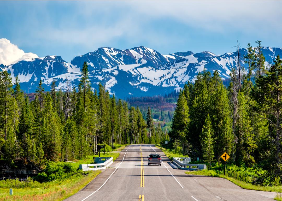
The road leading from Yellowstone National Park to Grand Teton National Park.
– Total motor vehicles per capita: 1.49
— Cars per capita: 0.33
— Trucks per capita: 1.10
— Motorcycles per capita: 0.05
Wyoming contains a huge drop in elevation between Laramie and Guernsey, resulting in a wind tunnel that poses a risk to unprepared drivers. Gusts have been recorded to exceed 100 miles per hour and even knock over semitrucks and trailers. Trucks comprise a huge portion of Wyoming’s vehicles on the road due to the state’s economic dependence on extracting and transporting coal, gas, and oil. Interstate 80, which cuts through Wyoming, is a major route for importing and exporting goods between states throughout the country.
Car dependence in the state seemingly doesn’t extend to the advent of electric vehicles; state legislators drafted a bill to end EV sales in the state by 2035, a deliberate reaction to California’s recent bill to end gas-powered vehicle sales by the same date.
Beeldtype // Shutterstock
#1. Montana
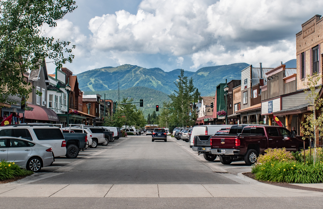
Cars parked along the road on Main Street in Whitefish, Montana.
– Total motor vehicles per capita: 1.80
— Cars per capita: 0.42
— Trucks per capita: 1.04
— Motorcycles per capita: 0.33
With 355,175 registered, Montana ranked as a top 10 state for motorcycle ownership in 2020. The state’s low population density means it is one of the most sparsely trafficked areas in the country. This allows the state to have a uniquely high number of open intersections—intersections that forgo stop signs or traffic lights and require drivers to yield to each other to pass through. Montana also has a distinctly high danger of traffic accidents due to collisions with wildlife, particularly deer.
This story originally appeared on The General and was produced and
distributed in partnership with Stacker Studio.
