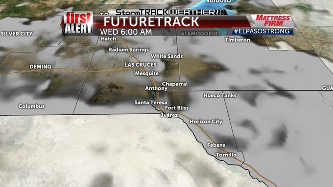
Our Winter Storm Exits

This latest February winter storm that brought rain, sleet and then snow across the area continues to move NE. The E/NE sides of El Paso picked up anywhere from 0.5" to nearly 2" of snow while Las Cruces had around 2". Ground temperatures have been warm so the snow did not accumulate on the roadways but did accumulated on the grass and bushes. Overnight low temps will hover around 32 degrees with some areas of fog. Travel on all interstates are pretty good up I-25 North and both to El Paso's West and East on I-10 No reports of ice and snow..
Expect to see the sun break out tomorrow and melt what snow accumulated. Temperatures will warm to the low 50's.
Thursday, Friday and the weekend looks to be pretty nice. Temps will be in the 50's and 60's. Another storm could impact us with rain early next week.
For the latest forecast and Doppler radar: http://www.kvia.com/weather
